Morgan Kotter12 min read
Wayne County is the south-central Utah county that contains most of Capitol Reef National Park. It covers 2,466 square miles and had 2,486 residents at the 2020 census — almost exactly one person per square mile. The county seat is Loa. The towns nearest the park are Torrey and Teasdale, and Utah State Route 24 is the single road that connects the whole thing.
Most people arrive in Wayne County without knowing they are in it. They are going to Capitol Reef, and the county is the container the park happens to sit inside. But if you are trying to work out where to sleep, where to buy fuel, or why the last forty miles had no cell signal, the county is the useful unit — because the answer to all three is determined by which of seven small towns you are nearest to.
The One Number That Explains It
One person per square mile is the fact that explains everything else about visiting here. It is why there is no chain hotel. It is why restaurants keep short and seasonal hours. It is why the night sky is what it is. And it is why the drive between two towns that look adjacent on a map can take twenty-five minutes.
For comparison, Utah as a whole runs around 40 people per square mile, and Salt Lake County is over 1,300. Wayne County is not merely rural by Utah standards — it is one of the emptiest counties in a state that has several.
Where Wayne County Is
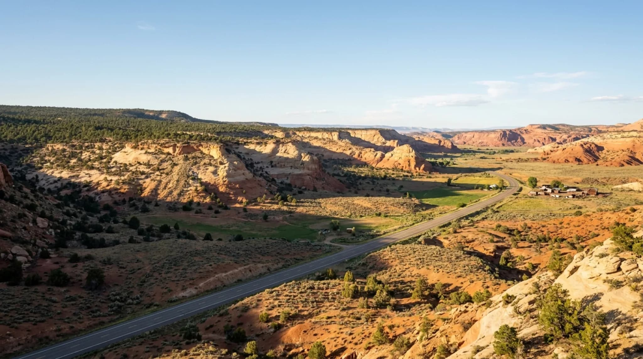
Wayne County sits in south-central Utah and is unusually long east to west. It begins in the high country of the Fishlake and Dixie National Forests, crosses the Aquarius Plateau and Boulder Mountain, drops into the Fremont River valley, runs through Capitol Reef National Park, and then continues east into open desert toward the Henry Mountains.
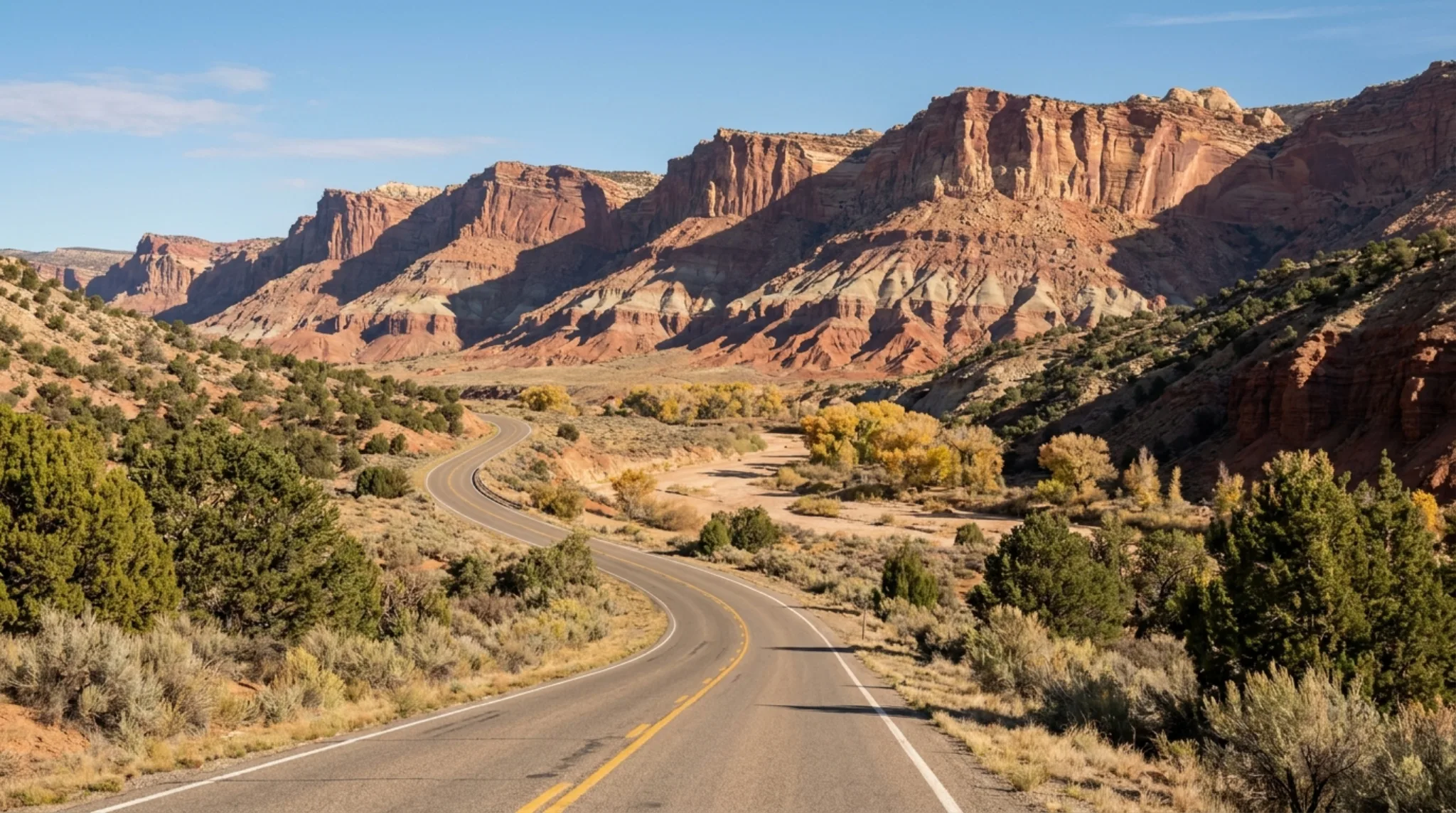
Utah State Route 24 is the spine. Nearly every town in the county is strung along it. SR-12 joins from the south near Torrey, coming up from Boulder, Escalante and eventually Bryce Canyon.
Getting into the county on SR-24
- Westbound from I-7081.1 miles to the park
- Eastbound from I-7063.4 miles to the park
- Northbound from I-1547.1 miles to the park
- Southbound from I-1574.1 miles to the park
Those are the National Park Service's own published approach distances to the Capitol Reef visitor center, and they are a fair proxy for reaching the middle of the county.
Every Town in the County
Seven places most visitors will encounter, west to east, with 2020 census populations.
Loa — pop. 516
The county seat and the largest town. Settled in 1878 by roughly forty families. Covers 0.95 square miles. This is where county business happens; it is not a tourism town, and it is about 40 minutes from the park entrance.
Bicknell — pop. 323
Second largest, at 0.57 square miles. Sits between Loa and Torrey on SR-24. Best known to visitors for a very small, very old movie theatre.
Lyman — pop. 196
A small agricultural settlement between Loa and Bicknell, covering 1.81 square miles. Almost entirely residential.
Teasdale — pop. 140
Four square miles of pinyon and juniper at about 7,000 feet, sitting off SR-24 on the slope below Boulder Mountain. Quieter and higher than Torrey, a few minutes further from the park, and where a fair amount of the area's lodging actually is.
Torrey — pop. 231
The gateway town. 1.66 square miles at the SR-24 and SR-12 junction, and the closest settlement to the park's main entrance. Most of the county's restaurants are here. A certified International Dark Sky Community.
Caineville — very small
East of the park in the badlands, barely a settlement. Notable mostly as the landmark you pass on the way to Factory Butte.
Hanksville — pop. 281
The eastern approach, roughly an hour from the visitor center. Fuel, a few services, and the jumping-off point for the Henry Mountains and Factory Butte. Genuinely remote in every direction.
The towns as a table
| Town | 2020 population | Land area (sq mi) | Status | Role for visitors |
|---|---|---|---|---|
| Loa | 516 | 0.95 | Incorporated | County seat; county business |
| Bicknell | 323 | 0.57 | Incorporated | Services between Loa and Torrey |
| Hanksville | 281 | — | Incorporated | Eastern approach; fuel and services |
| Torrey | 231 | 1.66 | Incorporated | Gateway town; Dark Sky Community |
| Lyman | 196 | 1.81 | Incorporated | Residential and agricultural |
| Teasdale | 140 | 4.00 | Incorporated | Quiet high-elevation lodging |
| Caineville | — | — | Unincorporated | Landmark east of the park |
| County | 2,486 | 2,466 | — | — |
Two things fall out of that table that are not obvious from a map.
About 800 people live outside any incorporated town. The six incorporated towns total 1,687 residents against a county population of 2,486, so roughly a third of the county lives on scattered ranches and unincorporated ground.
Teasdale is the largest town by area and the smallest by population. Four square miles for 140 people — the lowest density of any town in the county, which is why it reads as quieter than Torrey despite being only a few minutes further from the park.
The Two Halves of the County
It helps to think of Wayne County as two different places that share a government.
The west end — Loa, Lyman, Bicknell — is high, green, agricultural, and oriented toward Fish Lake and the forests. Cattle and hay. This half looks like rural Utah anywhere.
The east end — Teasdale, Torrey, and everything past the park — is red rock desert on the edge of the Colorado Plateau. This half looks like nowhere else, and it is what people drive for.
The transition happens over about twenty miles of SR-24, and it is abrupt enough to be worth noticing while you drive it. The Fremont River is what stitches the two together; it is the reason there is farmland at Fruita in the middle of a desert.
What the County Is Known For
The county's economy has historically run on cattle, lumber and tourism, and the ordering of those three has shifted heavily toward the last one since Capitol Reef's visitation grew.
Capitol Reef National Park
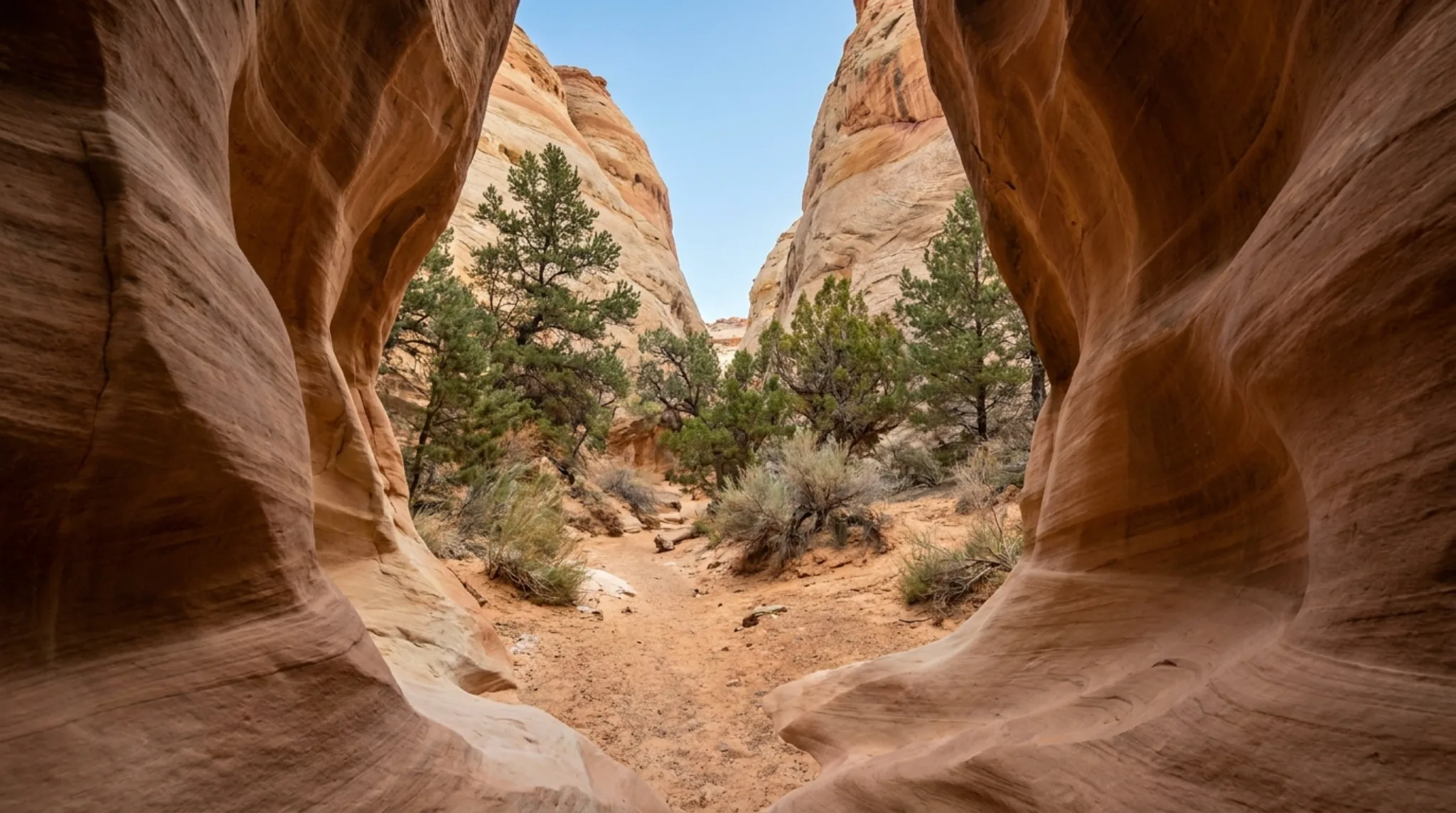
The Waterpocket Fold — a hundred-mile wrinkle in the earth's crust — plus the Fruita orchards, the Scenic Drive, and Cathedral Valley. The northern and central park, including the visitor center, is in Wayne County.
Boulder Mountain and the Aquarius Plateau
One of the highest forested plateaus in North America, rising directly behind Teasdale and Torrey. Lakes, aspen, and a completely different climate from the desert twenty minutes downhill.
The Great Western Trail
Utah's Centennial Trail runs through the county — roughly 125 miles through the Dixie National Forest over the Boulder Mountains, and about 75 miles running north from Torrey through the Fishlake National Forest.
Factory Butte and the badlands
Mancos-shale badlands east of the park, with BLM-designated open riding areas. About an hour east of Torrey.
Fish Lake
Utah's largest natural mountain lake sits just off the county's northwest corner and pulls a completely different crowd — anglers and cabin renters rather than park visitors.
The night sky
Two separate international certifications, covered below. This is the county's most under-marketed asset.
The Dark Sky Designations
Wayne County holds two distinct certifications from DarkSky International, and the distinction matters because they cover different things.
Two certifications, two scopes
- Capitol Reef National ParkInternational Dark Sky Park
- TorreyInternational Dark Sky Community
A Dark Sky Park certifies the protected land itself. A Dark Sky Community certifies a town — meaning its residents adopted and enforced outdoor lighting ordinances. The second is considerably harder to earn than the first, because it requires a population to agree to something.
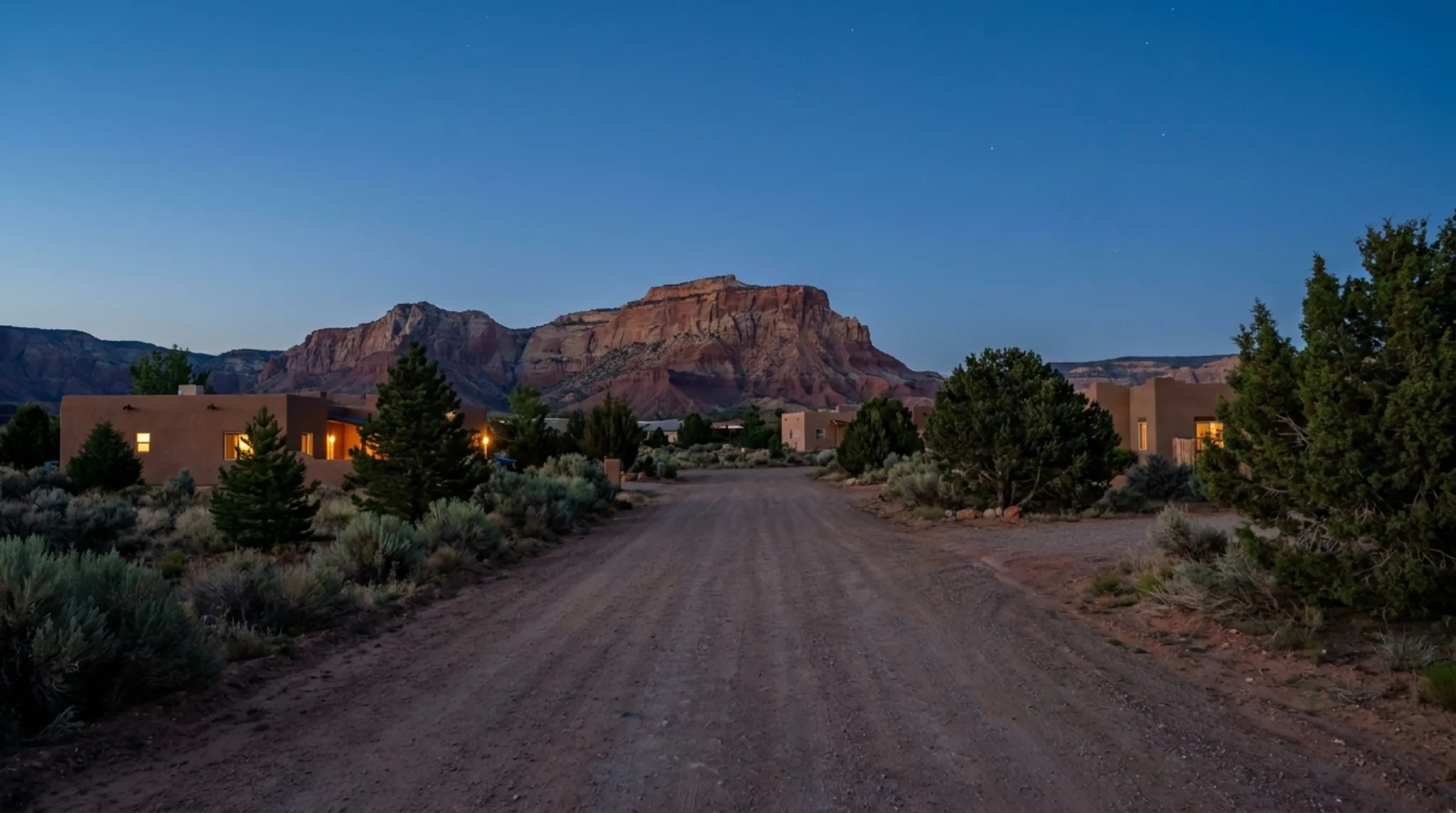
The practical consequence is that in this county the sky does not materially improve when you drive from the town into the park. It is already dark where people live. That is unusual, and it is the reason stargazing here works even without a plan.
“
One person per square mile, and a town that legislated its own darkness. The sky is not an amenity here — it is the ambient condition.
”
Practical Notes
Cell signal
Reliable in Torrey and Loa, patchy in Teasdale, and effectively absent inside much of the park and east toward Hanksville. Download maps before you leave town.
Fuel
Torrey, Loa, Bicknell and Hanksville. Nothing in the park. The Torrey to Hanksville stretch is the one that catches people out.
Groceries
Limited. Loa and Bicknell have the county's fuller stores; Torrey's are aimed at visitors. Buy anything specific before you arrive.
Seasonality
Many businesses run mid-April to mid-October. Winter service is genuinely thin, and it is worth confirming directly rather than assuming.
Elevation
Torrey sits near 6,800 feet and Teasdale near 7,000. Expect cool nights year-round and take the altitude seriously on your first day.
Medical
Wayne Community Health Centers operate in the county, but the nearest hospitals of any size are well outside it. Plan accordingly.
Frequently Asked Questions
Where is Wayne County, Utah? Wayne County is in south-central Utah. It runs east from the Fishlake and Dixie National Forests, over the Aquarius Plateau and Boulder Mountain, down through the Fremont River valley and Capitol Reef National Park, and out into the desert past Hanksville. Utah State Route 24 is the road that threads the whole county together.
What is the county seat of Wayne County, Utah? Loa is the county seat. It was settled in 1878 by roughly forty families and had a population of 516 at the 2020 census, which makes it the largest town in the county.
How many people live in Wayne County, Utah? 2,486 people at the 2020 census, spread across 2,466 square miles. That works out to almost exactly one person per square mile.
What towns are in Wayne County, Utah? Loa (the county seat), Bicknell, Lyman, Teasdale, Torrey, Hanksville and Caineville, plus several smaller settlements. Loa at 516 and Bicknell at 323 are the largest; Torrey at 231 and Teasdale at 140 are the ones nearest Capitol Reef National Park.
Is Capitol Reef National Park in Wayne County? The northern and central sections of Capitol Reef — including the visitor center, the Fruita historic district and the Scenic Drive — are in Wayne County. The park is long and narrow and its southern end extends into Garfield County.
What is Capitol Reef Country? Capitol Reef Country is the tourism name for Wayne County. The county tourism office publishes under that name at capitolreefcountry.com, so the two terms refer to the same place.
Which town in Wayne County should you stay in for Capitol Reef? Torrey and Teasdale are the closest to the park's main entrance and hold most of the county's lodging. Loa and Bicknell are further west along SR-24 and are more oriented to county business than to visitors. Hanksville is the eastern approach, about an hour from the visitor center.
Reuse this table
The town table is published as an open dataset under a Creative Commons Attribution 4.0 licence. You may republish it, in whole or in part, including commercially, provided you credit the source and link back.
Suggested credit:
Incorporated towns of Wayne County, Utah, compiled August 2026 — Capitol Reef Country, Torrey, Utah. https://luxedencapitolreef.com/guides/wayne-county-utah
Population and land area figures are from the 2020 United States Census. Hanksville's land area and Caineville's population are not separately reported in the sources used here and are marked with an em dash rather than estimated. Approach distances are as published by the National Park Service for Capitol Reef National Park. Dark sky certifications are as listed by DarkSky International.