Morgan Kotter6 min read
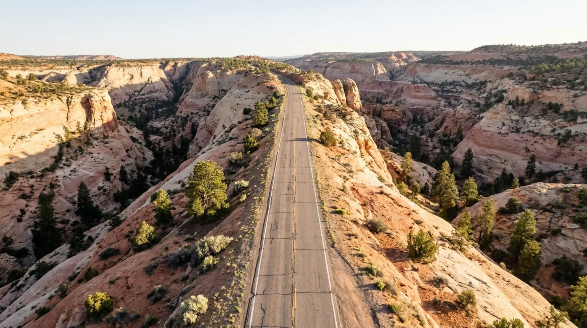
Scenic Byway 12 is Utah State Route 12, a designated All-American Road that runs about 123 miles between Torrey, at Highway 24, and US-89 just south of Panguitch. It crosses Boulder Mountain at a 9,600-foot summit, passes the towns of Boulder and Escalante, and goes by Bryce Canyon National Park near its western end. Driving it straight through takes about three hours, and the road is open year-round, though sections can close after big storms until plowed.
If you are staying in Torrey, drive it from this end. You climb Boulder Mountain in the morning with the Capitol Reef cliffs behind you, and you can turn around at Boulder or Escalante and be back for dinner.
The Route at a Glance
Visit Utah gives the length as 122.863 miles and the National Park Service rounds it to 123. Both agree on the endpoints: Highway 24 in Torrey and US-89 near Panguitch.
Driving It from Torrey
Highway 12 leaves Highway 24 at the edge of Torrey and heads south up Boulder Mountain. OpenStreetMap routing gives these approximate times from Torrey:
| From Torrey to | Distance | Approximate drive |
|---|---|---|
| Larb Hollow Overlook | About 15 mi | Under 30 minutes |
| Boulder | About 37 mi | About 1 hour |
| Escalante | About 65 mi | About 1 hr 40 min |
| Panguitch (US-89) | About 107 mi | About 2 hr 25 min |
The Forest Service puts Larb Hollow Overlook about 15.1 miles from Torrey. Real times run longer once you stop, and the curves on the mountain and the Hogback are slow.
Stops Worth the Time
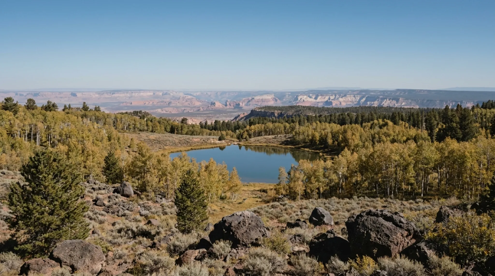
Boulder Mountain. This is the first stretch south of Torrey. Larb Hollow Overlook, a Forest Service site with a vault toilet and no fee, looks back over the Waterpocket Fold in Capitol Reef and the Henry Mountains. Our Boulder Mountain guide covers the lakes, campgrounds and roads up top.
Anasazi State Park Museum, Boulder. An Ancestral Puebloan village that Utah State Parks says was likely occupied from A.D. 1050 to 1200, with a life-size replica dwelling outside and excavated artifacts inside. Open 9 am to 5 pm daily. When we checked, the park said its exhibit renovation was not finished, though the gallery, gift shop and site were open.
The Burr Trail. It leaves Highway 12 in Boulder and is paved to the Capitol Reef boundary. It is the scenic way to Muley Twist Canyon and the Burr Trail switchbacks.
The Hogback. Between Boulder and Escalante, Visit Utah describes hairpin turns and steep drop-offs on both sides. Drive it slowly and leave the photos to the pullouts.
Lower Calf Creek Falls. The BLM trail starts at Calf Creek campground on Highway 12, 15 miles east of Escalante. It is a 6-mile round trip to a 126-foot waterfall, rated moderately difficult because of sand, with a $5 per vehicle day-use fee. Interagency pass holders get free day use.
Escalante and beyond. Past Escalante the byway runs on to Kodachrome Basin State Park, Bryce Canyon National Park and Red Canyon. From Torrey that is too far for a relaxed day trip. Escalante is a sensible turnaround.
Winter on Highway 12
Visit Utah says the byway is open all year, but sections can be impassable after major storms until plowed, and ice makes the Boulder Mountain stretch hazardous in winter. The National Park Service gives the summit as 9,600 feet and advises checking road conditions and UDOT cameras before you set out.
The park also warns about South Draw Road, an unmaintained high-clearance road that some GPS units route drivers onto near Lower Bowns Reservoir. Stay on the pavement.
What to Know
- Fuel. On the Torrey end, fill up in Torrey before climbing the mountain.
- Fees. The byway is free. Calf Creek charges $5 per vehicle, and state parks along the route charge their own entry.
- Dogs. Visit Utah notes that most areas and trails along the byway require leashes.
- Wildlife. Visit Utah flags mule deer habitat on the Bryce end of the road, with deer most active at dawn and dusk. Plan the drive home before dark if you can.
Where to Stay
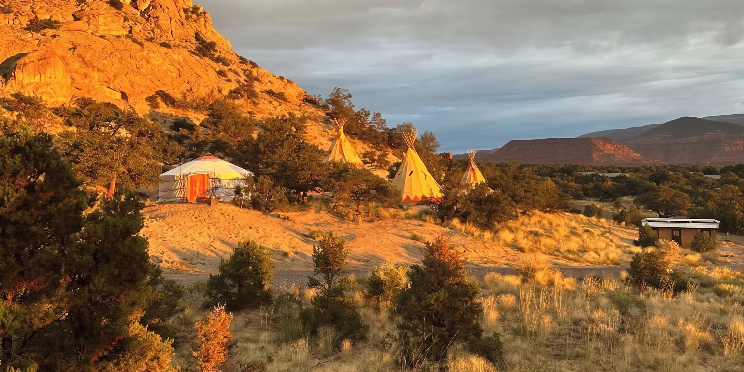
Torrey sits at the northern end of the byway and on the doorstep of Capitol Reef, which makes it a good base for an out-and-back. Our Torrey lodging guide compares the options, and /stay covers the glamping units and Lodge rooms we run in Teasdale, a few minutes west.
Frequently Asked Questions
Where does Scenic Byway 12 start and end?
Utah State Route 12 runs between US-89 just south of Panguitch and Highway 24 in Torrey. The National Park Service gives its length as 123 miles; Visit Utah gives 122.863 miles.
How long does it take to drive Highway 12?
Visit Utah says about three hours if you are just passing through, and the National Park Service says the drive between Bryce Canyon and Capitol Reef on SR-12 takes about three hours. Stops add far more.
Is Highway 12 open in winter?
Yes. Visit Utah says the road is open year-round, though sections can be impassable after major storms until plowed. The National Park Service notes a 9,600-foot summit on Boulder Mountain that can be hazardous in winter.
Does it cost anything to drive Scenic Byway 12?
Driving the byway is free. Some stops charge, such as the $5 per vehicle day-use fee at the BLM's Calf Creek Recreation Area.
Checked 2026-10-13. Length, endpoints, summit, winter and South Draw Road warnings: National Park Service, Capitol Reef directions. Length, All-American Road status, the Hogback, winter, drive time and leashes: Visit Utah. Larb Hollow Overlook: USDA Forest Service. Burr Trail paving: National Park Service, roads. Museum hours and status: Utah State Parks, Anasazi. Calf Creek trail and fee: BLM. Drive times: OpenStreetMap data via the OSRM router, from Torrey. Road conditions change; check UDOT before a winter drive.