Morgan Kotter6 min read
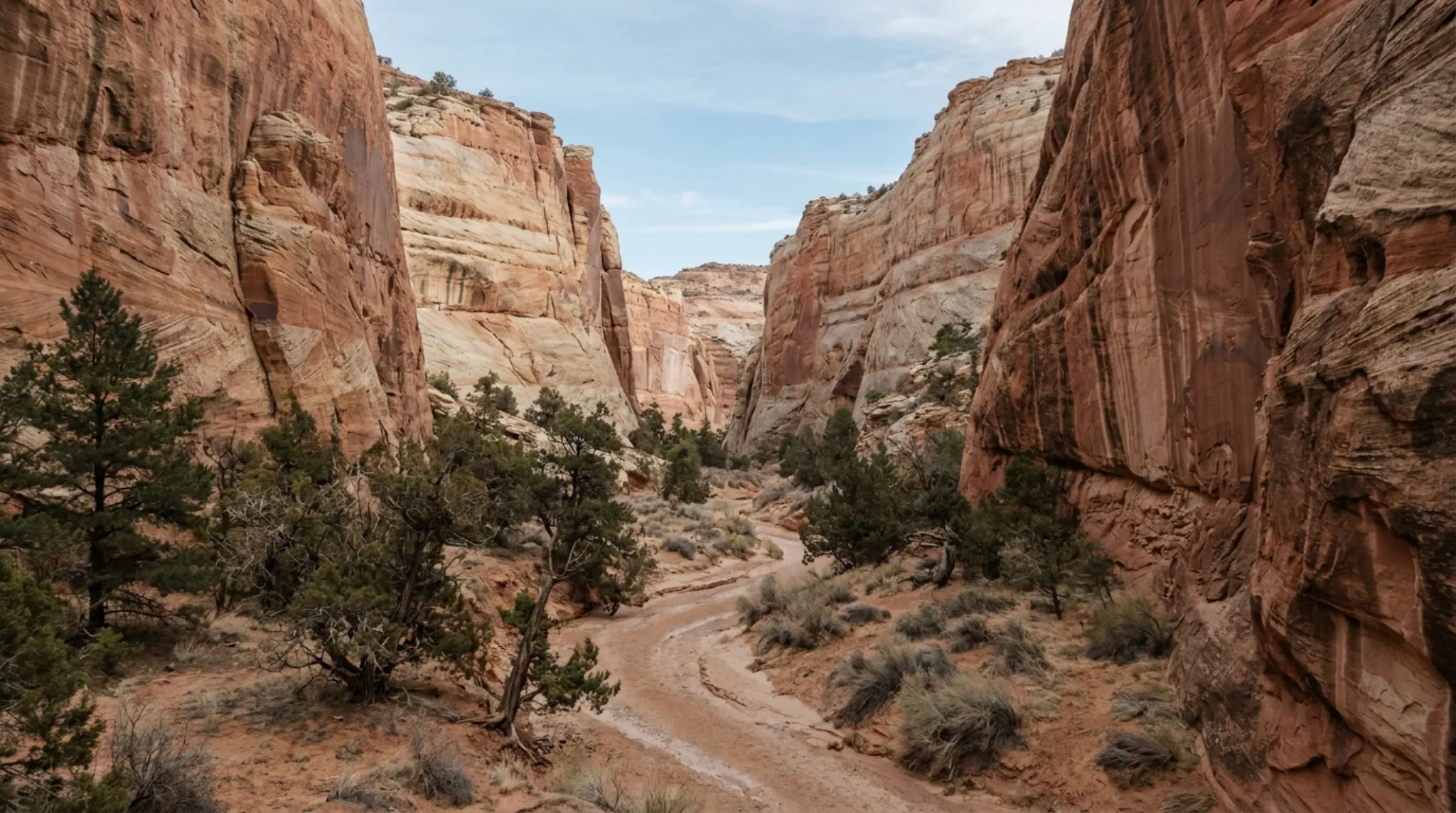
Muley Twist Canyon is a long, narrow canyon cut along the Waterpocket Fold in the southern part of Capitol Reef National Park. The National Park Service says it was thought narrow enough to "twist a mule," and that Mormon pioneers used it as a wagon route toward San Juan County from 1881 to 1884. Both halves are reached from the Burr Trail Road, about two hours' drive from Torrey, and both are unmaintained routes rather than trails: you need water, a map and the skill to use it.
The name has a local echo for us too: until 2026, our property in Teasdale traded as the Muley Twist Inn.
Upper and Lower Muley Twist
The Burr Trail Road splits the canyon in two.
Upper Muley Twist runs north from the Burr Trail. Its access road leaves the Burr Trail one mile west of the top of the switchbacks. Passenger cars can usually drive about 0.3 mile in to the trailhead. Beyond that, a high-clearance vehicle, typically four-wheel drive, can go 2.9 miles to the Strike Valley Overlook parking area.
Lower Muley Twist runs south from a trailhead at the top of the Burr Trail switchbacks toward Halls Creek. A second trailhead, the Post, is near the junction of the Burr Trail and the Notom-Bullfrog Road.
The Routes by Distance
All from the National Park Service:
| Route | Distance |
|---|---|
| Strike Valley Overlook, from its parking area | 0.9 mi round trip |
| Strike Valley Overlook parking to Saddle Arch | 1.7 mi |
| Upper Muley loop portion (canyon and rim) | 5.6 mi |
| Lower Muley upper loop | 10.7 mi |
| Upper Muley full round trip from the Burr Trail | 14.8 mi |
| Lower Muley lower loop | 15.4 mi |
| Lower Muley full loop, via Burr Trail Road | 21.9 mi |
| Lower Muley full loop, via Post Cutoff | 22.8 mi |
The Strike Valley Overlook is the short payoff: 0.4 mile each way from the high-clearance parking area to a view over the Waterpocket Fold. Overnight camping is not allowed on that route. Without a high-clearance vehicle you would walk the 2.9-mile road as well, so plan for a much longer day.
Getting There from Torrey
There are two ways. OpenStreetMap routing puts the Upper Muley trailhead about 2 hours from Torrey one way and about 2 hours 15 minutes the other:
- East via the Notom-Bullfrog Road. Take Highway 24 east; the Notom-Bullfrog Road leaves it nine miles east of the Capitol Reef visitor center. The Park Service says the first 15 miles are paved, then it becomes maintained dirt that is usually passable to passenger cars. The Lower Muley trailhead is about 35 miles south of Highway 24. About 55 miles from Torrey to the Upper Muley trailhead.
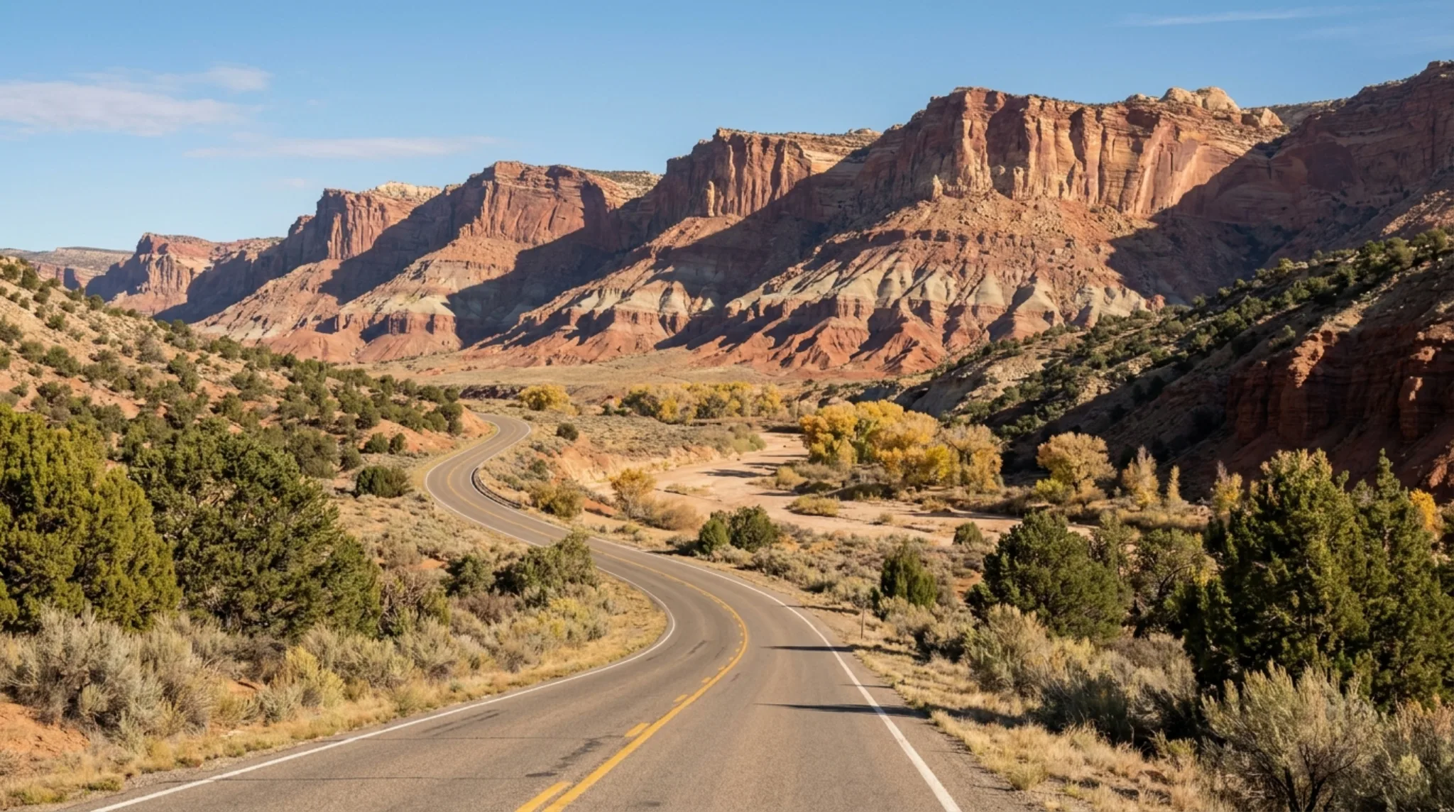
- South via Boulder. Take Scenic Byway 12 over Boulder Mountain to Boulder, then the Burr Trail Road east. The Burr Trail is paved from Boulder to the park boundary and graded dirt inside it. About 70 miles from Torrey to the Upper Muley trailhead.
The park's stretch of the Burr Trail includes switchbacks that climb about 800 feet in half a mile. They are not suitable for RVs or trailers.
Road Conditions Come First
Every route here depends on dirt roads that change with weather. When we checked on 2026-10-13, the Park Service listed the Notom-Bullfrog Road, the Burr Trail and the Strike Valley Overlook road as condition unknown and likely impassable. Call 435-425-3791 (press 1, then 4) or ask at the visitor center before you go.
What to Know
- Water. Sources are unreliable. Muley Tanks, near Hamburger Rocks on the Lower Muley route, usually holds water that must be purified, and can go dry in drought years. Carry what you need.
- Heat. The Park Service calls summer extremely hot. Spring and fall are the seasons it recommends.
- Flash floods. Typically July through September. Be careful in the narrows when storms are around.
- Exposure. The Post Cutoff Trail crosses steep slickrock with a 100-foot exposed section, worse when wet or icy.
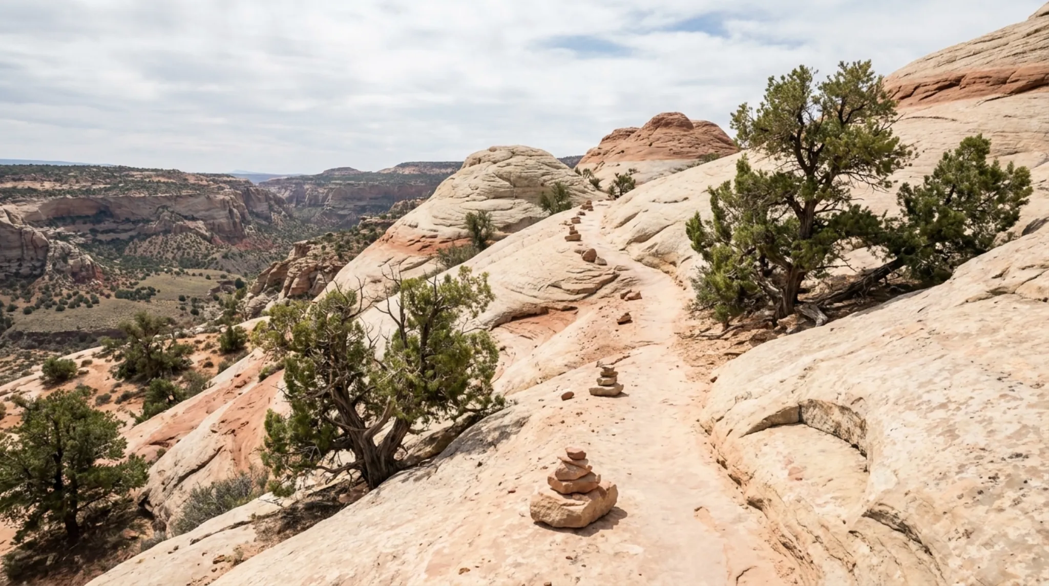
- Navigation. These are routes, not maintained trails. The Park Service does not maintain the cairns, and route-finding is essential.
- Permits. Free and required for overnight trips, from the Capitol Reef Visitor Center, Bullfrog Visitor Center (seasonal) or the Escalante Interagency Visitor Center.
- No cell service. The Park Service says there is none in the park.
For shorter, marked trails, see our Capitol Reef hikes guide.
Where to Stay
Torrey is the base for both approaches. Our Torrey lodging guide compares the options, and /stay covers the glamping units and Lodge rooms we run in Teasdale, a few minutes west of Torrey.
Frequently Asked Questions
Why is it called Muley Twist Canyon?
The National Park Service says the canyon was thought to be narrow enough to "twist a mule." Mormon pioneers used it as a wagon route toward San Juan County from 1881 to 1884.
How long is the Lower Muley Twist hike?
The National Park Service gives several options from the Burr Trail trailhead: a 10.7-mile upper loop, a 15.4-mile lower loop, and full loops of 21.9 or 22.8 miles.
Do you need a 4x4 for Upper Muley Twist?
Passenger cars can usually drive about 0.3 mile in to the Upper Muley Twist trailhead. Going on 2.9 miles to the Strike Valley Overlook parking area takes a high-clearance vehicle, typically four-wheel drive, according to the Park Service.
Do you need a permit for Muley Twist Canyon?
Not for a day hike. Overnight trips need a free backcountry permit from the Capitol Reef Visitor Center, the seasonal Bullfrog Visitor Center or the Escalante Interagency Visitor Center.
When is the best time to hike Muley Twist?
Spring and fall, according to the Park Service. Summer is extremely hot with unreliable water, and flash flood season typically runs July through September.
Checked 2026-10-13. Name, pioneer history, Lower Muley trailheads, distances, water, hazards and permits: National Park Service, Lower Muley Twist Canyon. Upper Muley access, vehicle requirements and hazards: National Park Service, Upper Muley Twist Canyon. Strike Valley Overlook, rim loop and Saddle Arch distances: National Park Service, Waterpocket District hiking routes. Notom-Bullfrog and Burr Trail roads: National Park Service, roads. Road status on 2026-10-12: National Park Service, alerts and conditions. Cell service: National Park Service, local services. Former property name: our own business records; the property's Google Business Profile carried it until October 2026. Drive times: OpenStreetMap data via the OSRM router, from Torrey.