Morgan Kotter6 min read
Capitol Reef National Park has fifteen marked day hikes in its Fruita area, with trailheads on Highway 24 and the Scenic Drive around the visitor center, 11 miles east of Torrey. The National Park Service rates four as easy (Goosenecks, Sunset Point, Capitol Gorge and Grand Wash), three as moderate (Hickman Bridge, Cohab Canyon and the Fremont River) and eight as strenuous, topping out at Navajo Knobs: 4.7 miles one way with 1,620 feet of climbing. Start early. Parking at many trailheads fills by 9 am.
Most of these are half-day hikes or shorter. From Torrey the visitor center is about 15 minutes away, so you can hike in the cool of the morning and be back by lunch.
Every Fruita Trail, by Difficulty
Distances are one way unless marked, as the Park Service lists them. Double them for the round trip.
| Trail | Distance | Elevation change | Difficulty |
|---|---|---|---|
| Goosenecks | 0.1 mi | Under 50 ft | Easy |
| Sunset Point | 0.4 mi | Under 50 ft | Easy |
| Capitol Gorge | 1.0 mi | 80 ft | Easy |
| Grand Wash | 2.2 mi | 200 ft | Easy |
| Hickman Bridge | 0.9 mi | 400 ft | Moderate |
| Fremont River | 1.0 mi | 480 ft | Moderate |
| Cohab Canyon | 1.7 mi | 440 ft | Moderate |
| Cassidy Arch | 1.7 mi | 670 ft | Strenuous |
| Golden Throne | 2.0 mi | 730 ft | Strenuous |
| Fremont Gorge Overlook | 2.3 mi | 1,090 ft | Strenuous |
| Rim Overlook | 2.3 mi | 1,110 ft | Strenuous |
| Frying Pan | 2.9 mi | 810 ft | Strenuous |
| Chimney Rock Loop | 3.6 mi round trip | 590 ft | Strenuous |
| Old Wagon Trail Loop | 3.8 mi round trip | 1,080 ft | Strenuous |
| Navajo Knobs | 4.7 mi | 1,620 ft | Strenuous |
The Park Service defines easy as uneven but fairly level ground, moderate as a mix of steep and level sections, and strenuous as steep grades and long, steady climbs. Many trails start around 5,000 feet and some reach about 6,900, so even the easy ones feel harder if you have come up from sea level.
Where to Start
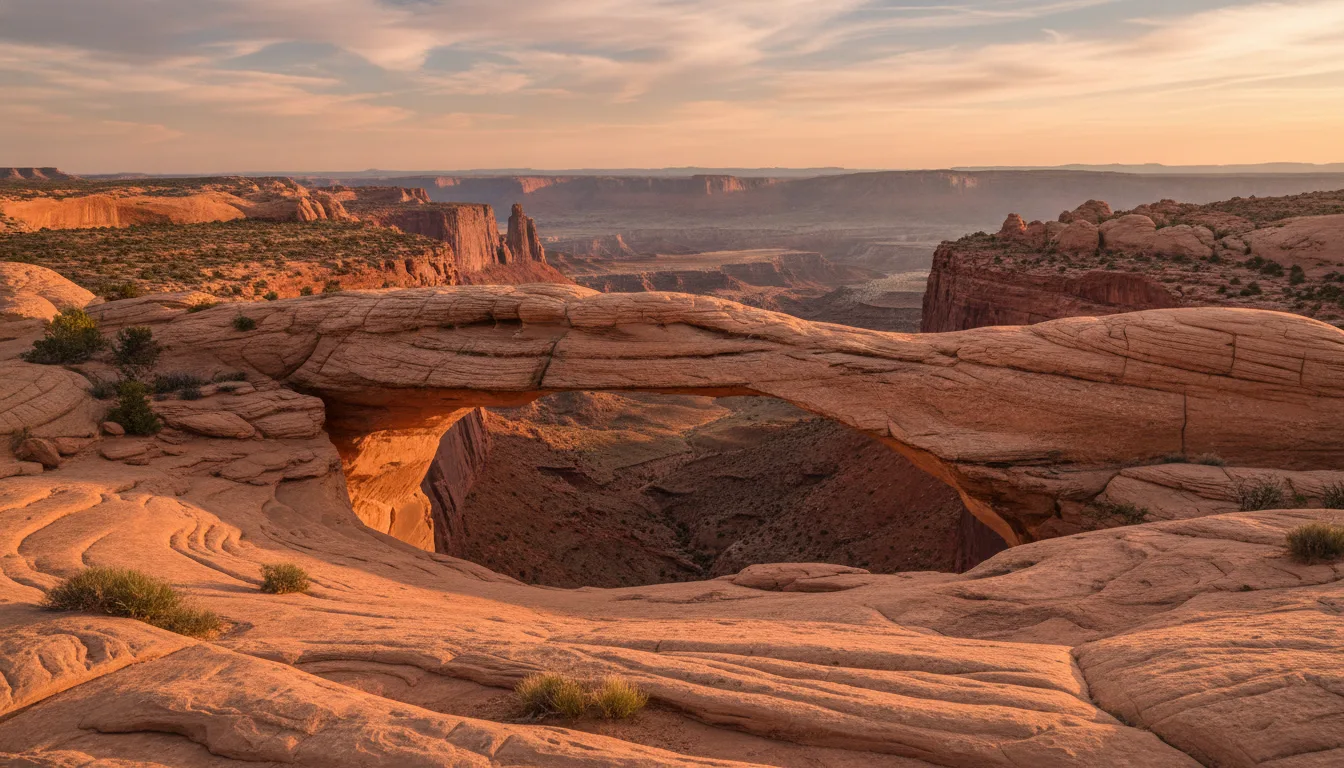
One short hike. Hickman Bridge is the place to start: under a mile each way to a 133-foot natural bridge, with 400 feet of climbing.
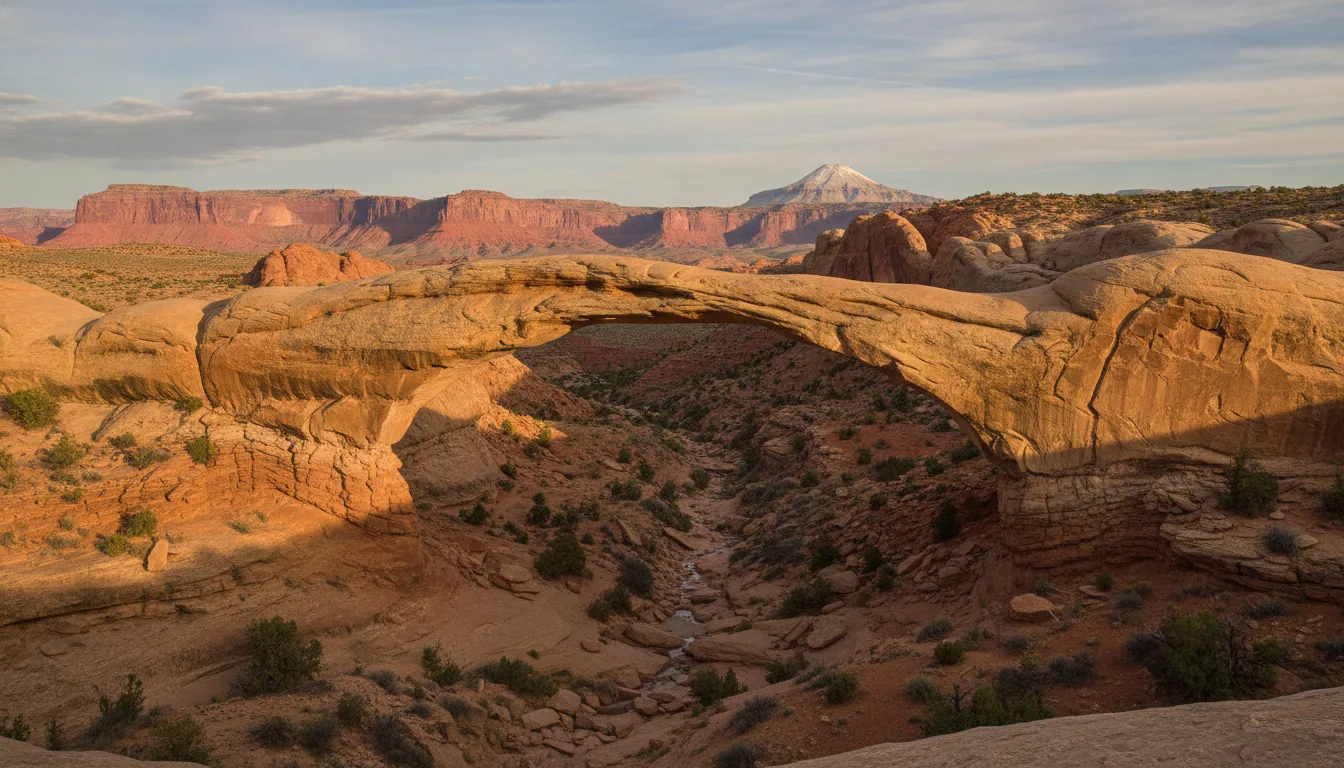
One hard hike. Cassidy Arch is 1.7 miles each way with 670 feet of climbing through a deep canyon and over slickrock to a natural arch. Rim Overlook and Navajo Knobs share a trailhead with Hickman Bridge and go much higher.
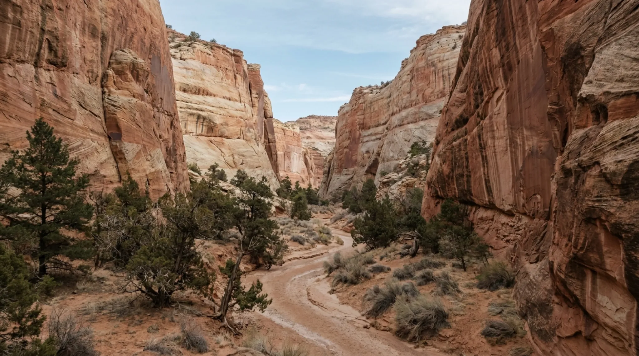
A flat walk. Grand Wash and Capitol Gorge are narrow canyons on fairly level ground. Capitol Gorge has historic inscriptions and a short climb to the water pockets, or "tanks." Both are reached by dirt spurs off the Scenic Drive. When we checked on 2026-10-13, the park listed both spur roads as closed and the Scenic Drive closed beyond Fruita Campground, so check conditions before you plan around them.
Sunset. Sunset Point and Chimney Rock Loop are the two the Park Service names for sunset.
Beyond Fruita
The southern Waterpocket District has longer, unmarked routes rather than maintained trails. Muley Twist Canyon is the one we cover, reached by dirt roads about two hours from Torrey. The northern Cathedral District is covered in our Cathedral Valley guide. Both need navigation skills, a vehicle suited to dirt roads, and a check on road conditions first.
Getting There from Torrey
Head east on Highway 24. The Park Service puts Torrey 11 miles west of the visitor center, and OpenStreetMap routing gives about 15 minutes for the drive. The Fruita trailheads are on Highway 24 or the Scenic Drive.
What to Know
- Fee. The park charges $20 per private vehicle, or $35 for a Capitol Reef annual pass. The visitor center guide covers the full fee table.
- Water. The Park Service says to carry water on every hike and plan on at least a gallon per person per day. There is no water at most trailheads.
- Heat. Summer highs are near 100°F, and many trails have little shade. Hike early or late.
- Flash floods. Summer storms bring them. Stay out of narrow canyons if storms threaten, and never camp in a wash.
- Parking. Trailhead lots often fill by 9 am and stay busy until after 4 pm.
- Dogs. Pets are not permitted on trails or anywhere in the backcountry.
- No cell service. The Park Service says there is none in the park. The visitor center has free Wi-Fi.
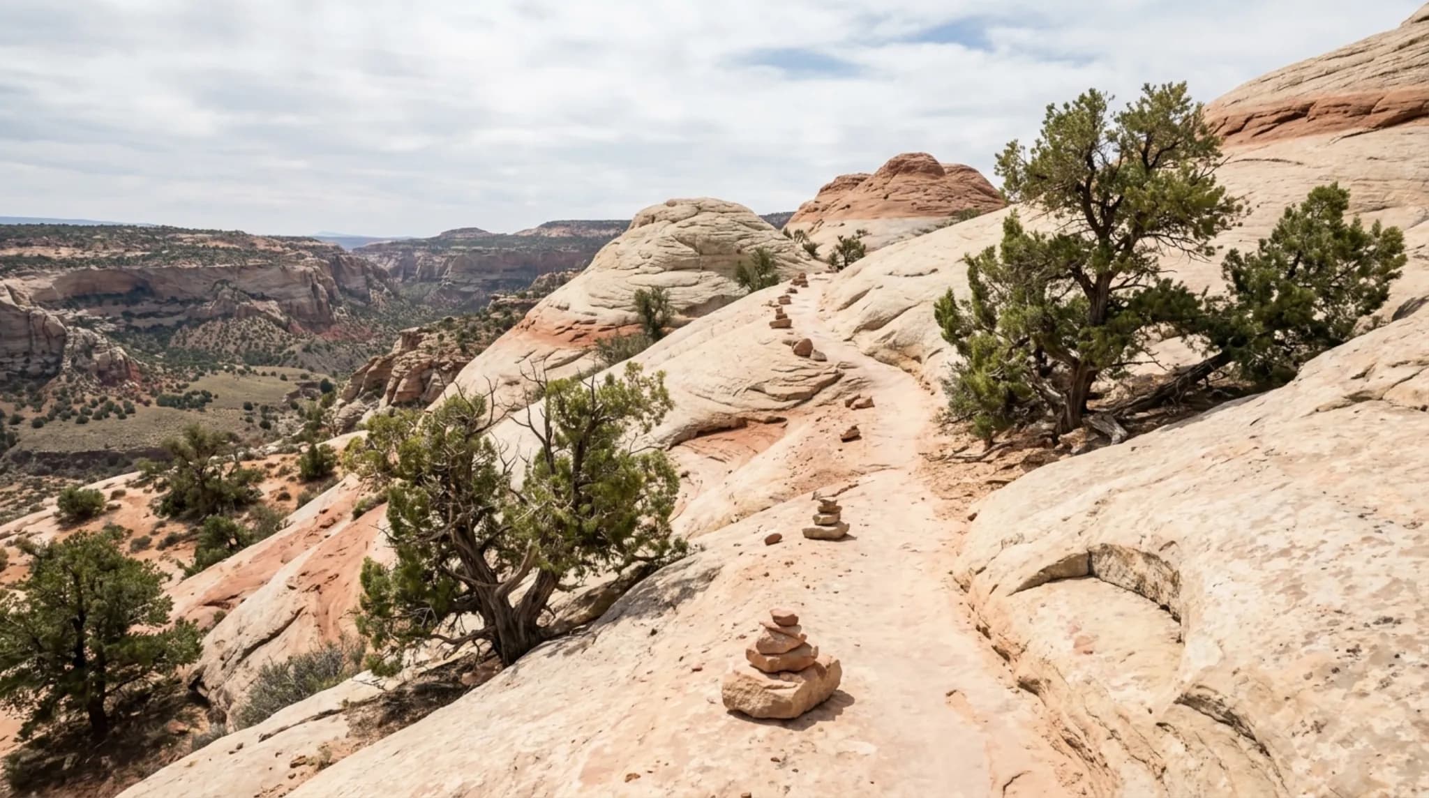
- Leave it. Stay on the trail, do not build cairns, and do not take rocks, plants or artifacts.
Where to Stay
Torrey sits at the park's west side and is the natural base for a few days of hiking. Our Torrey lodging guide compares the options, and /stay covers the glamping units and Lodge rooms we run in Teasdale, a few minutes west of Torrey.
Frequently Asked Questions
How many hiking trails are in Capitol Reef?
The National Park Service lists fifteen day-hiking trails in the Fruita area, with trailheads along Highway 24 and the Scenic Drive. Round-trip distances run from under a quarter mile to 10 miles.
What is the easiest hike in Capitol Reef?
Goosenecks, at 0.1 miles one way with under 50 feet of elevation change. Sunset Point (0.4 miles), Capitol Gorge (1.0 mile) and Grand Wash (2.2 miles) are the other trails the Park Service rates easy.
What is the hardest day hike in Capitol Reef?
By the Park Service's numbers, Navajo Knobs: 4.7 miles one way with 1,620 feet of elevation change, continuing past the Rim Overlook to a 360-degree view.
Can you bring dogs on Capitol Reef trails?
No. The National Park Service says pets are not permitted on trails or anywhere in the backcountry.
When should you hike in Capitol Reef?
Early or late in the day. The Park Service says trailhead parking often fills by 9 am and stays busy until after 4 pm, and summer highs are near 100°F with little shade on many trails.
Checked 2026-10-13. Trail table, difficulty definitions, elevations and parking: National Park Service, trail guide. Trail count, water, heat, flash floods and pets: National Park Service, hiking. Fees: National Park Service, fees and passes. Cell service, Wi-Fi and distance to Torrey: National Park Service, local services. Road status on 2026-10-12: National Park Service, alerts and conditions. Drive time: OpenStreetMap data via the OSRM router, Torrey to the visitor center. Road and trail conditions change weekly; call 435-425-3791 before you go.