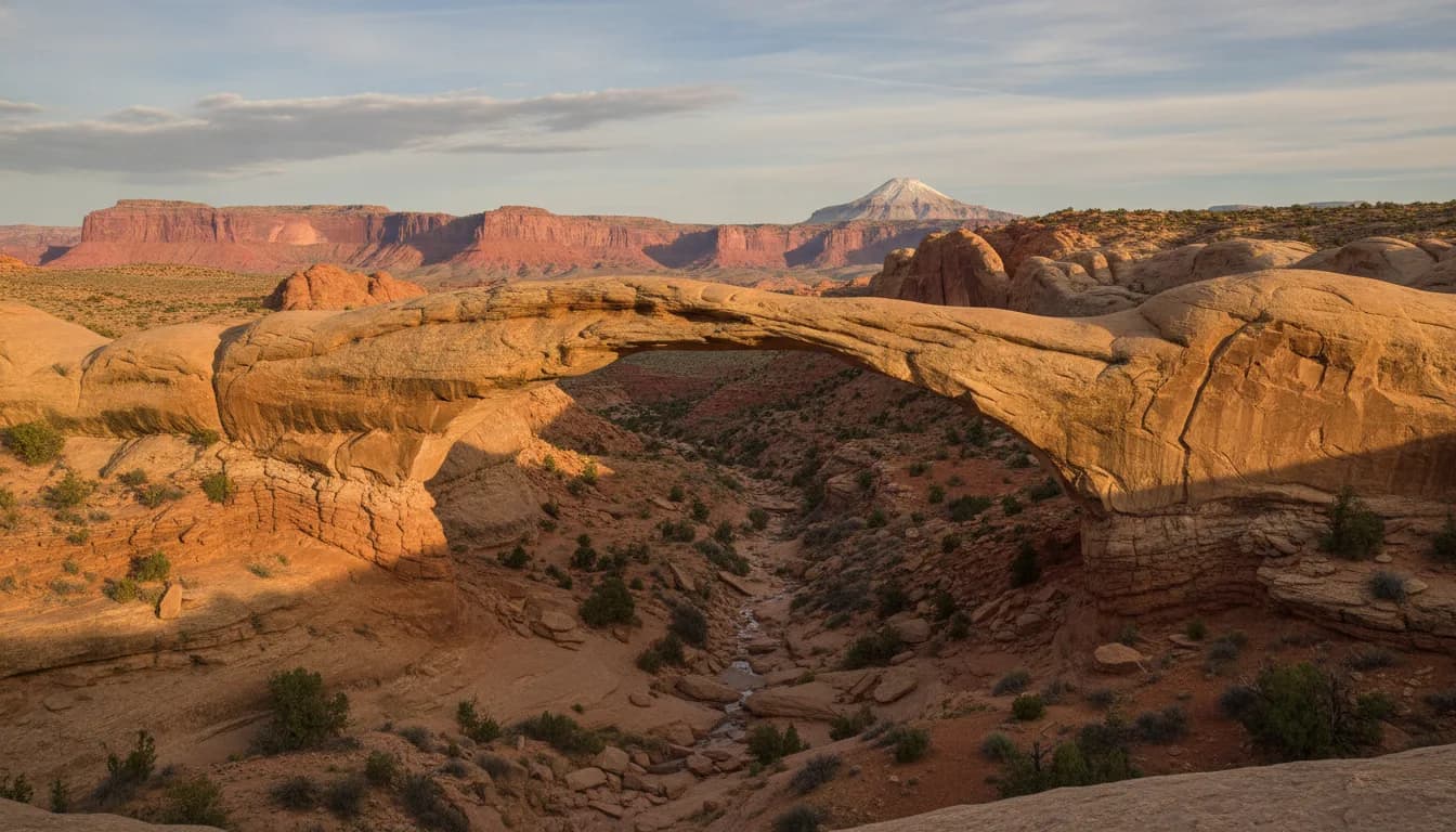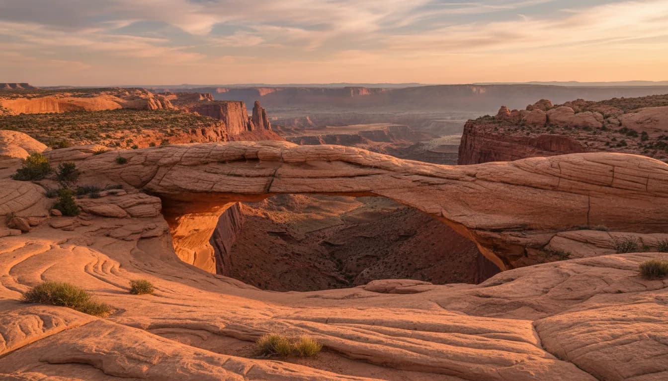
Cassidy Arch is a natural arch high in the cliffs above Grand Wash, reached by a 1.7-mile trail that climbs 670 feet from the canyon floor. The National Park Service rates it strenuous, names it after Butch Cassidy, and lists it among the classic hikes off the park's Scenic Drive. It is the arch photograph people bring home from Capitol Reef, and the trail to it is short enough to fit in a morning if your legs are up for the grade.
We are 20 minutes from the park entrance, and if a guest has one strenuous hike in them, this is usually the one we point at. The payoff-per-mile is the best in the Fruita district.
Why This Is the One
Capitol Reef has fifteen listed day hikes, and Cassidy Arch is the one that shows up in the photographs. Part of that is the arch itself, a clean span of sandstone with the Waterpocket Fold behind it. Part of it is the approach: the trail starts on the floor of a deep canyon and finishes high in the cliffs you were just craning your neck at, so the hike delivers the vertical drama of the park in a compressed distance.
The name is real history, not marketing. The National Park Service states that the arch is named for Butch Cassidy, and that the outlaw is thought to have used the nearby area as a hideout. From the Scenic Drive below, the park's own wayside points the arch out high in the distant cliffs, which is a useful thing to do before you hike it: you can see exactly what you are about to climb to.
The Trail Itself
The National Park Service trail guide lists Cassidy Arch at 1.7 miles one way with 670 feet of elevation change, rated strenuous. Two things in that line deserve unpacking.
First, the distance is one-way. The park's trail table lists one-way figures for its out-and-back hikes, so the real walk is 3.4 miles. Our things to do guide covers that quirk across all fifteen trails, because it catches people constantly.
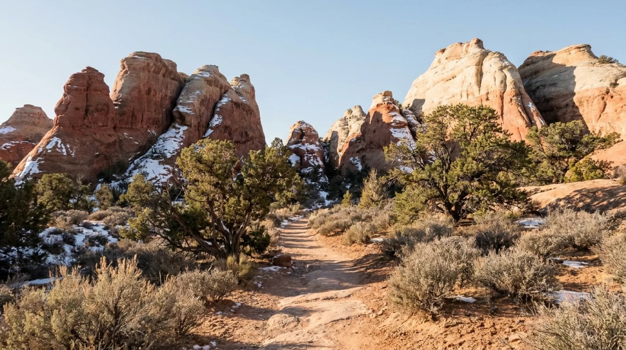
Second, the strenuous rating is about grade, not length. The Park Service defines its strenuous category as steep grades, uneven terrain and long, steady climbs, and this trail front-loads the work: it leaves the flat floor of Grand Wash and switchbacks up the canyon wall early, then works across slickrock benches toward the arch. Underfoot, per the Park Service, expect slickrock, packed dirt, stone steps and loose gravel. It asks for real shoes and an honest self-assessment, not technical skill.
Pets are not allowed on the trail; service animals are permitted.
Getting to the Trailhead
The trail starts from the Grand Wash trailhead, which the National Park Service lists as the combined Grand Wash-Cassidy Arch trailhead. To reach it:
- From the visitor center, turn onto the Scenic Drive, the 7.9-mile paved park road.
- Partway down, turn onto the Grand Wash spur road, a dirt road that the Park Service says is usually suitable for passenger cars and RVs up to 27 feet.
- Park at the end of the spur, where the foot trails begin.
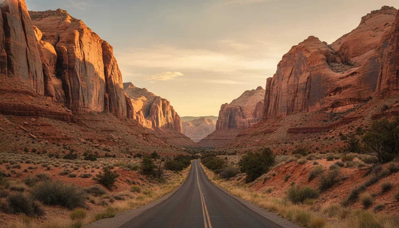
The spur road runs up the floor of a wash, which is exactly what it sounds like in a storm. The Park Service warns that the Scenic Drive, Grand Wash and Capitol Gorge roads can all close for snow, ice, mud and flash floods, so on a monsoon-season afternoon, check before you commit: visitor center in person, or 435-425-3791, press 1, then 4 for road conditions. Our full Scenic Drive guide covers the road, the second spur and every stop along the way.
From our property in Teasdale the trailhead is a bit over half an hour: about 20 minutes to the park entrance, then the Scenic Drive and the spur at park speeds.
Fees and Permits
The trailhead sits inside the park's fee area. The National Park Service charges the entrance fee for travel on the Scenic Drive past Fruita Campground, at a self-pay station just south of the campground.
Entrance fee, per the National Park Service
- Private vehicle$20
- Motorcycle$15
- Per person (foot or bicycle, 16+)$10
- Capitol Reef annual pass$35
- America the Beautiful passesAccepted
Hiking Cassidy Arch needs no permit. Canyoneering is different: the Park Service requires free day-use permits for canyoneering routes, obtained at the visitor center or by email, caps groups at eight, and prohibits wrapping webbing or rope around, or rappelling off, any arch with an opening greater than three feet. The popular rappelling route in this area is a third-party designation, not a Park Service one, so if that is your plan, start with the park's canyoneering rules, not a blog.
Best Time to Hike It
The Park Service names March to June and September to October as the popular seasons for good reason: the weather is often ideal for hiking, with less chance of snow or the dangerous monsoon rains.
In summer, this trail concentrates the season's two problems. The climb is exposed to full sun, and the trailhead sits up a wash road that flash floods can close or worse. The Park Service's monsoon warnings run from roughly mid-June to mid-October; on those days, hike early, watch the sky, and take the forecast seriously even if it is raining somewhere you cannot see. The trail itself is listed as open year-round, and a dry winter day here, with snow dusting the Fold, is quietly one of the best versions of it.
Any month, start early or late rather than midday. Parking at many park trailheads fills by 9 am in season, per the Park Service, and the light is better at the edges of the day anyway.
Photography
The classic frame is a person standing near the arch for scale, shot from the slickrock across from it, with the canyon dropping away behind. Two practical notes from doing this repeatedly:
- Low sun is your friend. Midday flattens the sandstone into one tone. Early and late, the rock goes orange and the relief comes back. Late afternoon also puts warm light on the cliffs across Grand Wash.
- Bring the wide lens and the zoom. The arch is big and close at the end of the trail, so a phone works fine there, but the views back down into Grand Wash on the climb reward a longer reach.
If the arch photo is the whole goal and the climb is not appealing, you can also simply see Cassidy Arch from below: the park's Scenic Drive wayside points it out high in the cliffs near the Grand Wash road.
What to Bring
The Park Service's blanket rule for the park applies doubly on a strenuous, exposed trail: always carry water, with a minimum of one gallon per person per day as its figure for day hiking.
More water than feels reasonable
There is none at the trailhead and none on the trail. The climb is the thirsty part and it comes first.
Grippy, closed shoes
Slickrock, stone steps and loose gravel, per the Park Service's own surface description. Sandals are the most common regret we hear.
Sun cover
Hat, sunscreen, and ideally sleeves. Shade is scarce once you leave the wash floor.
A weather check
In monsoon season, the day's flash flood rating decides whether the wash road and the wash itself are places to be. 435-425-3791 before you go.
The broader kit for this country is in our packing guide.
Longer Options
Cassidy Arch connects into the Fruita trail network, which lets you turn the out-and-back into something bigger:
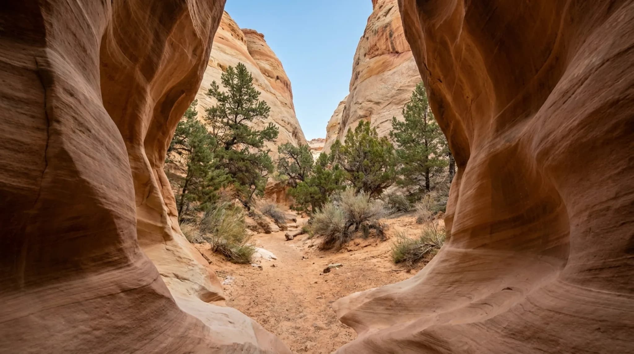
- Grand Wash. From the same trailhead, the Grand Wash trail runs 2.2 miles one way through the canyon narrows on an almost flat grade. Pairing the two gives you the district's best canyon and its best arch from one parking spot.
- Frying Pan Trail. Per the National Park Service, this 2.9-mile strenuous trail with 810 feet of elevation change connects the Cassidy Arch and Cohab Canyon trails over ridgetop panoramas. With a car shuttle or a long day, you can walk from Grand Wash over the top and come down into Fruita.
If you want the park's other signature short hike for a different day, Hickman Bridge is the moderate counterpart on the Highway 24 side, with no entrance fee to reach it.
Frequently Asked Questions
How long is the Cassidy Arch trail? 1.7 miles one way with 670 feet of elevation change, per the National Park Service trail guide. That works out to 3.4 miles round trip. The park lists one-way distances for its out-and-back trails, which trips up a lot of first-time visitors.
Why is Cassidy Arch rated strenuous? The climb. The National Park Service rates it strenuous, a category it defines as steep grades, uneven terrain and long, steady climbs. Most of the 670 feet comes early, switchbacking up out of Grand Wash, and the surface is a mix of slickrock, packed dirt, stone steps and loose gravel.
Where does the Cassidy Arch trail start? At the Grand Wash trailhead, at the end of the Grand Wash dirt spur road off the park's Scenic Drive. The National Park Service lists it as the Grand Wash-Cassidy Arch trailhead. Reaching it means paying the Scenic Drive entrance fee, currently $20 per vehicle.
Who was Cassidy Arch named after? Butch Cassidy. The National Park Service says the arch is named for him and that the train-robbing, cattle-rustling outlaw is thought to have used the nearby area as a hideout.
Can you rappel from Cassidy Arch? Canyoneering in Capitol Reef requires a free day-use permit from the visitor center, and the National Park Service prohibits wrapping webbing or rope around, or rappelling off, any arch with an opening greater than three feet. If you are considering the canyoneering route in this area, get the permit and current rules from the park first.
Trail distance, elevation, difficulty rating, naming history, fee amounts and permit rules are as published by the National Park Service for Capitol Reef National Park. Roads and trails close with weather; confirm conditions on 435-425-3791 before you drive the spur. If you are staying nearby, our place in Teasdale is about 20 minutes from the park entrance.