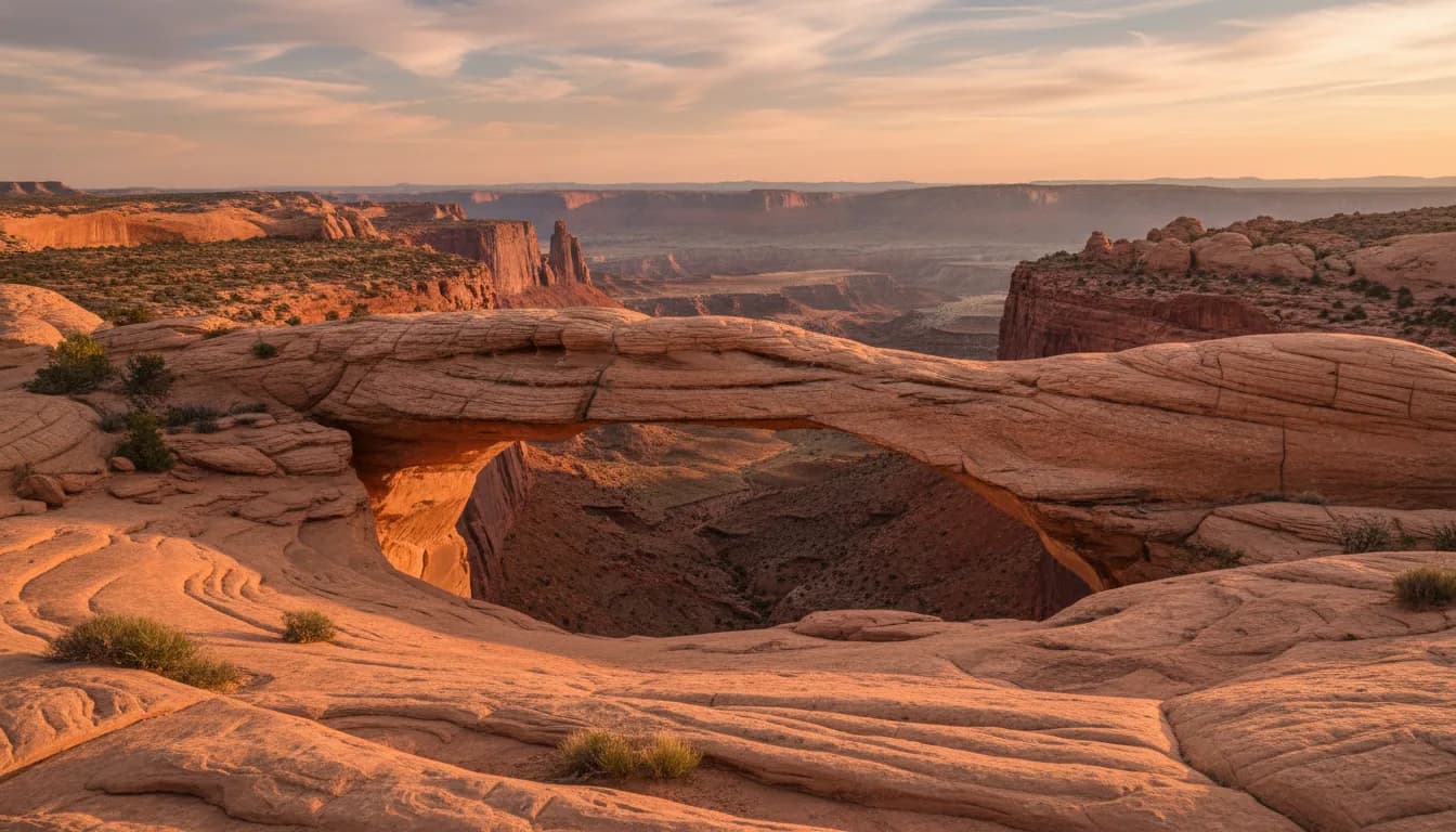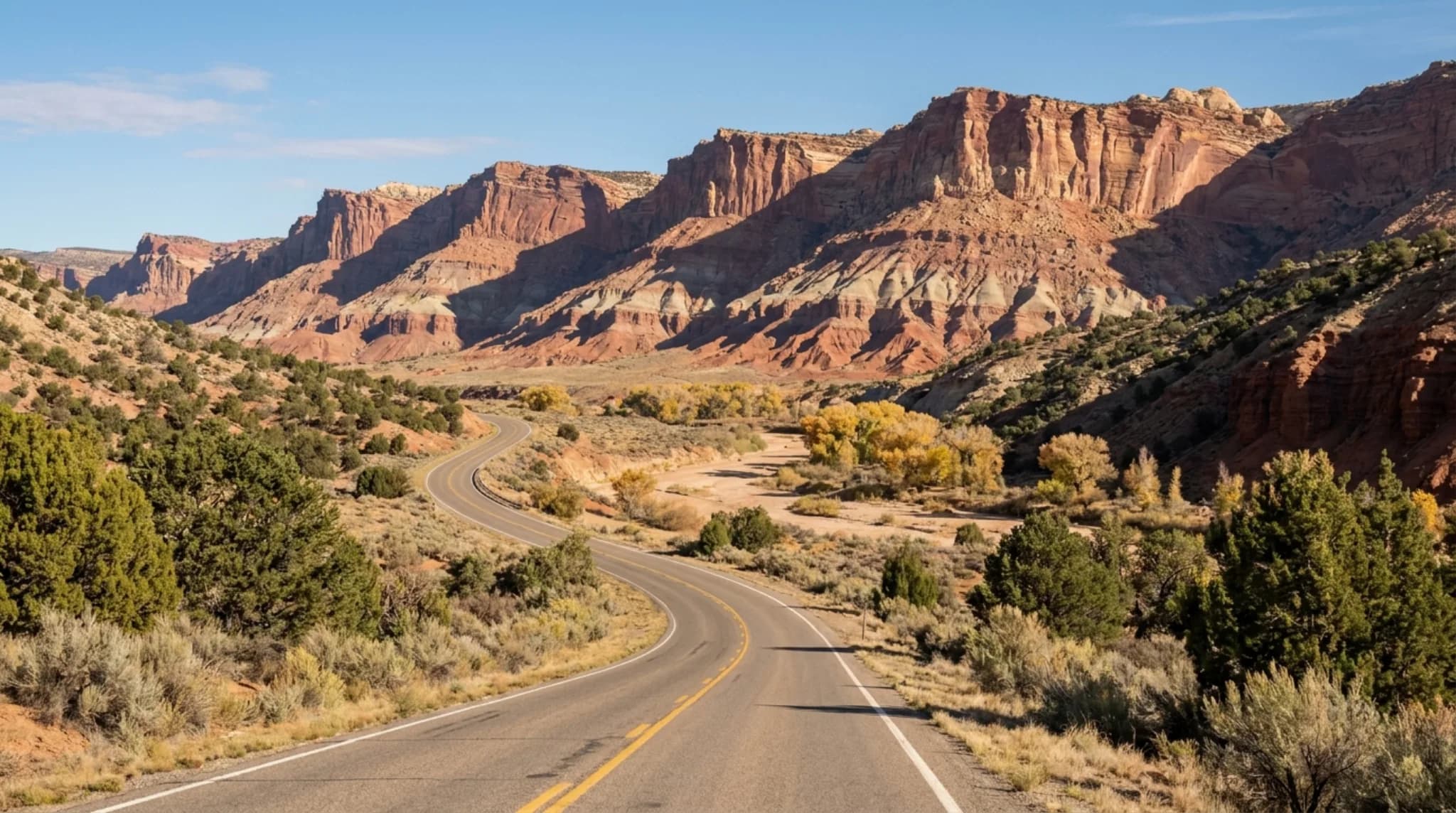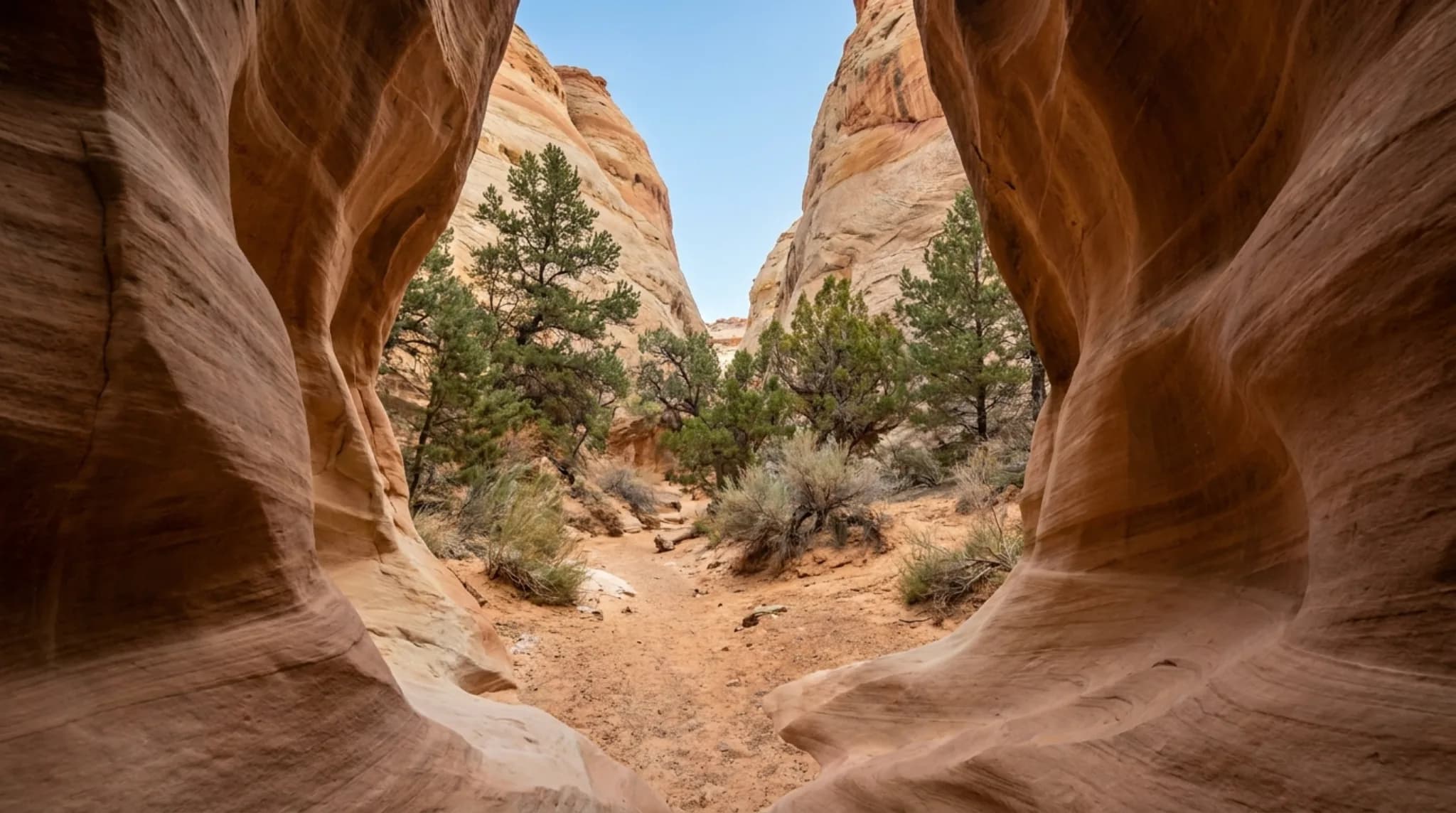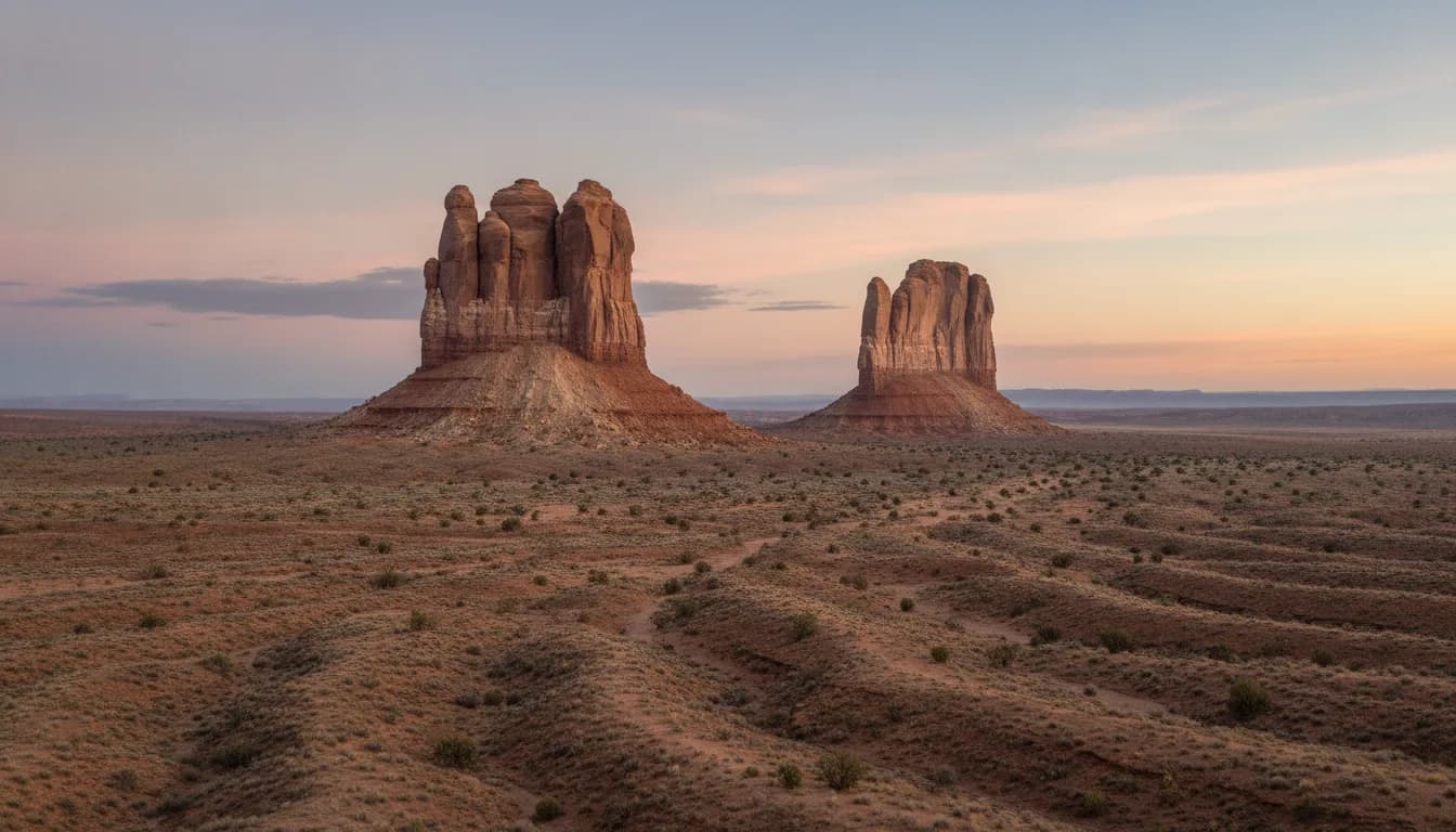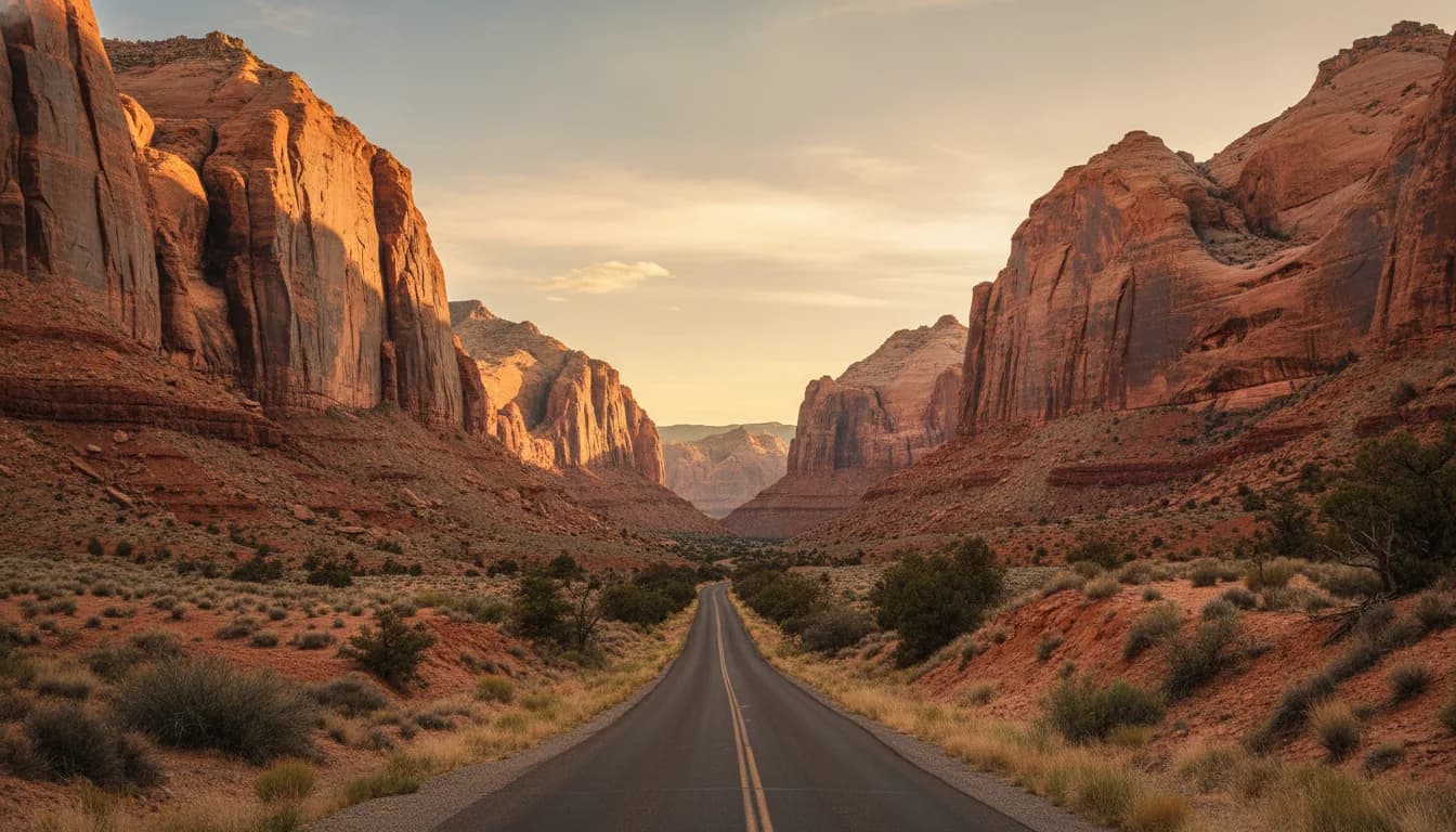
The Scenic Drive is Capitol Reef's paved park road: 7.9 miles from the visitor center south along the face of the Waterpocket Fold, with dirt spur roads turning into Grand Wash and Capitol Gorge. The National Park Service says to allot about an hour and a half round trip with both spurs. It is the only part of the park with an entrance fee, $20 per vehicle, and the fee is the best per-dollar purchase in southern Utah: two slot-canyon drives, the trailhead for Cassidy Arch, a 150-year-old guest book carved in stone, and the cliff line that named the park.
We drive this road with some regularity from Teasdale, 20 minutes away, and it has never once been the same color twice. Here is how to do it properly rather than as a quick out-and-back.
The Shape of the Drive
The National Park Service describes the Scenic Drive as a 7.9-mile paved road beginning at the visitor center. It is an out-and-back, not a loop. Two dirt spur roads leave it and drive into the canyons themselves: Grand Wash and, near the end of the pavement, Capitol Gorge. Per the Park Service, the spurs are usually suitable for passenger cars and RVs up to 27 feet.
The Park Service's timing is honest: about 90 minutes round trip including both spurs, or about 40 minutes if you only go as far as Grand Wash. Add real time on top if you plan to walk anything, and you should. The road shows you the cliffs; the two spur canyons are where the park closes over your head.
An inexpensive Guide to the Scenic Drive booklet, keyed to numbered stops along the road, is available at the visitor center bookstore, and it is the best dollar-range purchase in the park.
Fees, and Where They Apply
Capitol Reef's fee structure confuses people because most of the park is free. Highway 24 through the park, the trails along it (including Hickman Bridge), and the front country around the Gifford House and picnic areas cost nothing. The entrance fee applies to one thing: the Scenic Drive past Fruita Campground, collected at a self-pay station just south of the campground.
Entrance fee, per the National Park Service
- Private vehicle$20 · valid 7 days
- Motorcycle$15
- Per person (foot or bicycle, 16+)$10 · under 16 free
- Capitol Reef annual pass$35
- America the Beautiful passesAll accepted
The seven-day validity matters for a multi-day visit: one payment covers the drive every day of a normal stay. Details on passes and paying at the visitor center are in our visitor center guide.
Fruita: The First Two Miles
Per the National Park Service, the first two miles of the Scenic Drive pass through the Fruita Rural Historic District, the 200-acre remnant of the Mormon settlement founded here in 1880 and now on the National Register of Historic Places. This stretch is before the fee station, so it is worth slowing through even if you go no further:
Gifford House
Store and museum in a settlement-era farmhouse, famous for pie. Seasonal; closed in winter.
The orchards
Roughly 2,000 fruit trees still tended by the park. Per the Park Service you may pick and eat fruit free in any open orchard, with a small fee to carry fruit out.
Blacksmith shop and schoolhouse
Preserved working buildings from the community that farmed this river bottom for eight decades.
Deer at dusk
The irrigated grass draws mule deer most evenings. Drive the district accordingly.
One correction to a common expectation: the famous Fremont petroglyph panel is not on the Scenic Drive. It is on Highway 24, viewed from boardwalks, outside the fee area. The rock writing on this side of the park is a different and younger kind, waiting down Capitol Gorge.
The Paved Road South
Past the fee station the road runs along the west face of the Waterpocket Fold, the hundred-mile wrinkle of rock the park exists to protect, with the cliff layers stacked overhead: the red Moenkopi at road level, the sheer Wingate walls, the pale Navajo sandstone domes on top. The park's booklet stops name the geology as you go; the one landmark worth knowing blind is Slickrock Divide, the high point that separates the road's two big drainages, and a natural place to pull out for the view back north.
This is also a genuinely good cycling road, narrow and slow, so give riders the space the shoulder does not.
Grand Wash
The first spur turns east partway down the drive and follows the floor of Grand Wash into the Fold, with canyon walls rising as you go. At the road's end, per the National Park Service, foot trails lead into the narrowest part of the canyon and up to Cassidy Arch.
- Grand Wash trail: 2.2 miles one way, nearly flat, through the canyon narrows. The easiest big-canyon walking in the park; even ten minutes in repays the stop.
- Cassidy Arch trail: 1.7 miles one way and 670 feet up, strenuous, to the arch named for Butch Cassidy. Our Cassidy Arch guide covers it fully.
Near the mouth of the wash, the Park Service points out the Oyler Mine, a uranium working first opened in 1901, decades before the atomic age made the rock briefly valuable. The workings are sealed; the story is on the wayside.
Capitol Gorge
The pavement ends at the Capitol Gorge spur, which the Park Service describes as longer and more winding than Grand Wash. It ends at a trailhead with picnic tables, and the walk from there is the drive's best hour.
The gorge was not built as a trail. Per the National Park Service, Capitol Gorge served as a through road from 1884 to 1962, closing only when the paving of Highway 24 gave the region a route that did not flood every monsoon. For 78 years, wagons and then automobiles threaded these narrows.
The Pioneer Register
About half a mile in on the north wall: names and dates carved, painted and in one case shot into the sandstone by travelers, the earliest from prospectors on September 20, 1871, per the Park Service.
The Tanks
A short, steep climb off the 1-mile Capitol Gorge trail reaches natural waterpockets that hold rain long into dry spells. They are the "pocket" in Waterpocket Fold.
Road Closures and Conditions
All three roads, the paved drive and both spurs, can close for snow, ice, mud and flash floods, per the National Park Service. The spurs are the sensitive ones: they run up wash floors, which is exactly where storm water goes.
If a storm has the spurs shut, the paved drive itself usually remains the consolation prize, and wet rock here darkens to colors the dry cliffs never show.
Best Time, and Photography
The drive works in every season; winter closures are the exception rather than the rule, and snow on red rock is worth a cold morning. Spring and fall bring the best hiking weather, per the Park Service, and summer rewards early starts before heat and afternoon storms.
For light, the honest guidance from repeated drives: the road hugs the west side of the Fold, so afternoon and evening light falls onto the big cliff faces, and the Park Service's own sunset advice for the park is to watch the reds and oranges deepen on the Fold as the sun drops. Mornings, the drive sits in cool shadow longer than you expect, which is its own look and the better window inside the two gorges, where midday overhead sun flattens the walls. If sunset is the goal, note that the park's named sunset spots, Sunset Point and Panorama Point, are off Highway 24, not this road.
The Scenic Drive also pairs naturally with the rest of a first day; our things to do guide slots it into one-, two- and three-day plans. And if 7.9 paved miles leaves you wanting the remote version, the Cathedral Valley loop is this park's back road: 57.6 miles of dirt and a full day.
Frequently Asked Questions
How long is the Capitol Reef Scenic Drive? 7.9 miles of paved road, one way, per the National Park Service, plus dirt spur roads into Grand Wash and Capitol Gorge. It is not a loop; you return the way you came. The Park Service says to allot about an hour and a half round trip including both spurs.
How much does the Scenic Drive cost? The National Park Service charges $20 per private vehicle, $15 per motorcycle, or $10 per person on foot or bicycle, paid at a self-pay station just south of Fruita Campground. A Capitol Reef annual pass is $35, and America the Beautiful passes are accepted. Driving Highway 24 through the park is free.
Can RVs drive the Scenic Drive spur roads? The National Park Service says the Grand Wash and Capitol Gorge dirt spurs are usually suitable for passenger cars and RVs up to 27 feet long. All three roads can close for snow, ice, mud or flash floods, so check conditions at the visitor center or on 435-425-3791 first.
What is the Pioneer Register? A stretch of canyon wall in Capitol Gorge where travelers carved, painted and in one case shot their names into the sandstone, with the earliest inscription from prospectors dated September 20, 1871, per the National Park Service. It is about half a mile from the Capitol Gorge trailhead. Adding your own name today is a federal crime.
Was Capitol Gorge really a highway? Yes. The National Park Service says Capitol Gorge served as a through road from 1884 until 1962, when the paving of Highway 24 finally gave the area a route that did not flood. For 78 years, traffic between Fruita and points east squeezed through the gorge's narrows.
Do you need the Scenic Drive to see petroglyphs? No. The Fremont petroglyph panel with its boardwalk viewing area is on Highway 24, outside the fee area. What the Scenic Drive side offers instead is the Pioneer Register's historic inscriptions, down the Capitol Gorge spur and a short walk in.
Road length, time estimates, fee amounts, vehicle limits, historic dates and closure causes are as published by the National Park Service for Capitol Reef National Park. Conditions change with every storm; confirm on 435-425-3791 before driving the spurs. Basing nearby? Our place in Teasdale is about 20 minutes from the start of the drive.