Morgan Kotter6 min read
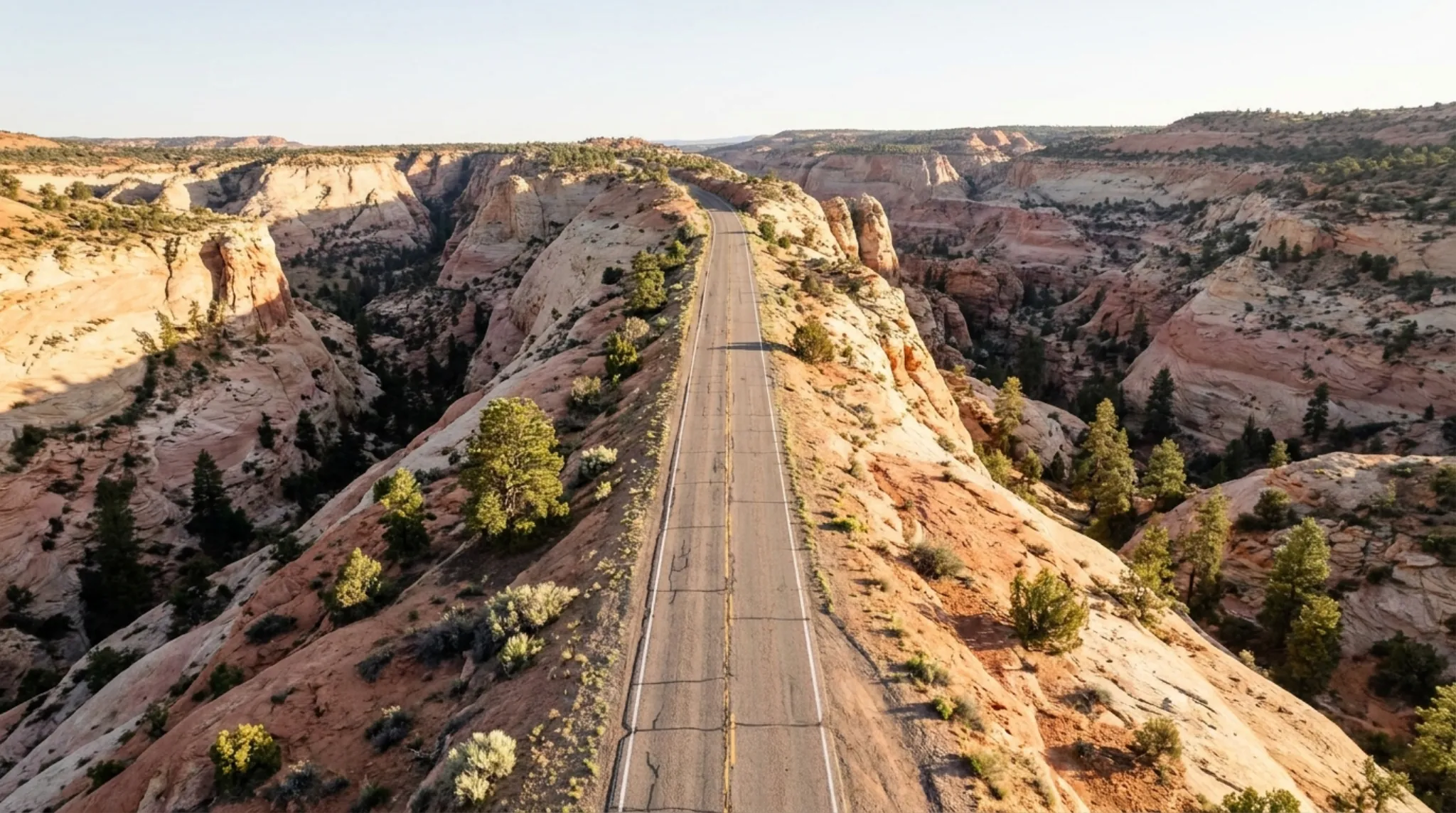
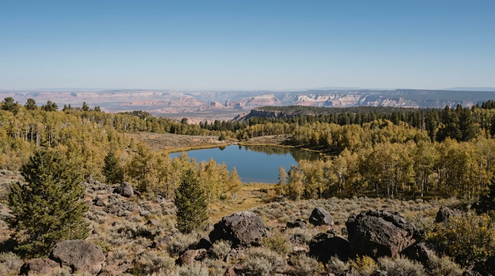
Boulder Mountain is a high, forested plateau in south-central Utah, rising between Torrey and the town of Boulder just outside Capitol Reef National Park. Visit Utah describes it as 50,000 acres with more than 80 lakes and ponds, a high point of 11,313 feet, and calls it the highest timbered plateau in North America. Scenic Byway 12 crosses it at 9,600 feet, so from Torrey you can reach its overlooks, trout lakes and summer campgrounds on paved road in under half an hour.
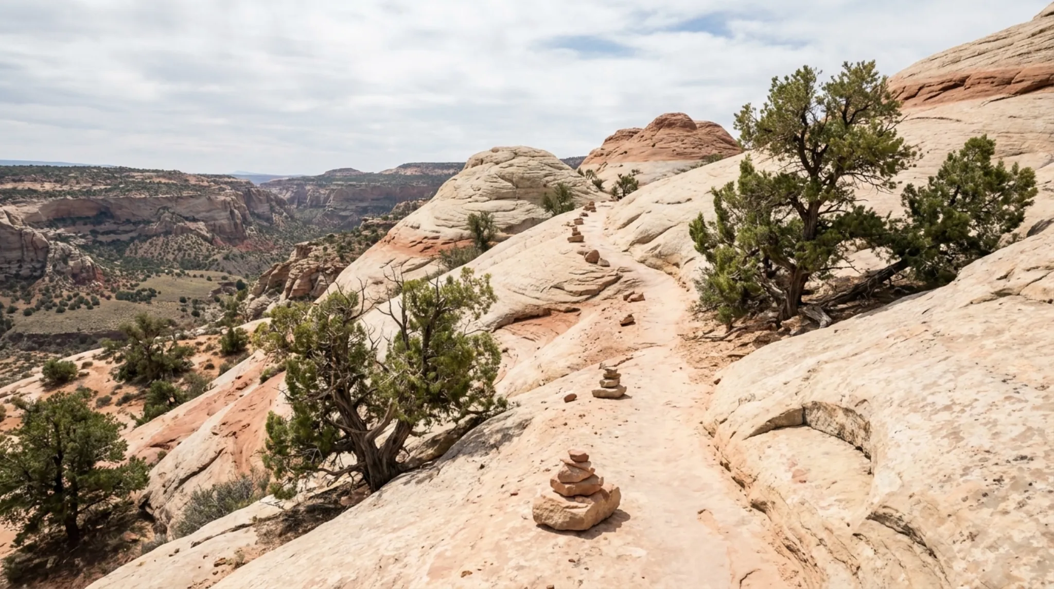
Up close it is a different country from Capitol Reef: pine forest and trout lakes well above the red rock, and a place to go when the desert floor is too hot.
What Boulder Mountain Is
Visit Utah gives the elevation range as roughly 7,000 to 11,000 feet. Much of the mountain is national forest. The Fishlake National Forest's Fremont River Ranger District manages the sites closest to Torrey, including Singletree Campground and Larb Hollow Overlook.
Getting There from Torrey
Take Scenic Byway 12 south from its junction with Highway 24 in Torrey.
| From Torrey to | Distance (source) | Approximate drive |
|---|---|---|
| Singletree Campground | 13 mi (Forest Service) | About 20 minutes |
| Larb Hollow Overlook | 15.1 mi (Forest Service) | Under 30 minutes |
| Boulder, over the top | About 37 mi (OpenStreetMap) | About 1 hour |
Drive times are approximate, from OpenStreetMap routing, and do not allow for stops or winter conditions.
For the lakes on top, Visit Utah names the dirt Boulder Top Road, which leaves Highway 24 about 2.5 miles east of Bicknell; look for Forest Road 154 past the Perry Egan Hatchery. Some lakes are a short walk from a road. Remote ones need an off-road vehicle or a hike.
Things to Do
Larb Hollow Overlook. A Forest Service pullout on Highway 12, about 15.1 miles from Torrey, with a vault toilet and kiosk, no water and no fee. It looks out over the Waterpocket Fold in Capitol Reef and the Henry Mountains. Season is listed as May to September.
Fishing. Visit Utah lists brook trout, tiger trout, Colorado River cutthroat and Arctic grayling, and records the mountain's brook trout record, 7 pounds 8 ounces, caught in 1971. Blind Lake is the largest water at 52 acres. Lower Bowns Reservoir, 125 acres when full, is reachable by passenger car on dirt and gravel several miles off Highway 12. Visit Utah says fishing tends to be best in the fall. You need a Utah fishing license.
Singletree Falls. A one-mile trail from Singletree Campground leads to the falls, according to the Forest Service.
Camping. Singletree Campground sits at about 8,200 feet, 13 miles southeast of Torrey, with flush toilets, drinking water and a dump station in season. When we checked, the Forest Service listed it as closed until spring 2027, so look up its status before you plan around it.
Seasons and Weather
Visit Utah says the mountain is accessible year-round except right after major winter storms, gets more rain than the lower country, and often has summer afternoon storms. The Forest Service lists both Singletree Campground and Larb Hollow Overlook as May to September sites.
Highway 12 over the top stays open in winter, but Visit Utah says ice makes the Boulder Mountain stretch hazardous, and the National Park Service calls the 9,600-foot summit hazardous in winter. Check UDOT road conditions before you drive it between late autumn and spring.
What to Know
- Bad shortcut. The National Park Service warns that some GPS units route drivers onto South Draw Road near Lower Bowns Reservoir. It is unmaintained and needs high clearance. Stay on the paved highway.
- Weather turns fast. Pack a warm layer and rain shell even in summer.
- Rough roads up top. The Boulder Top Road is dirt. Ask the ranger district about conditions on (435) 896-1020.
- Fuel first. The Park Service lists Torrey as the nearest fuel to Capitol Reef. Fill up there before heading up.
Where to Stay
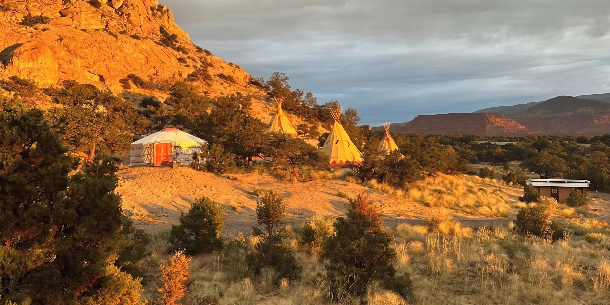
Torrey sits at the foot of the mountain and at the gate to Capitol Reef, so you can fish the lakes in the morning and hike the park in the afternoon. Our Torrey lodging guide compares the options, and /stay covers the glamping units and Lodge rooms we run in Teasdale, a few minutes west of Torrey.
Frequently Asked Questions
Where is Boulder Mountain in Utah?
Boulder Mountain is the high plateau between Torrey and the town of Boulder in south-central Utah, just outside Capitol Reef National Park. Scenic Byway 12 crosses it, with a summit of 9,600 feet according to the National Park Service.
How high is Boulder Mountain?
Visit Utah gives the high point as 11,313 feet and says the area ranges from about 7,000 to 11,000 feet. Highway 12 crosses at 9,600 feet.
How many lakes are on Boulder Mountain?
Visit Utah says more than 80 lakes, ponds and reservoirs. The largest is Blind Lake at 52 acres.
Can you drive over Boulder Mountain in winter?
Highway 12 is open year-round, but Visit Utah says ice makes the Boulder Mountain stretch hazardous in winter and sections can be impassable after big storms until plowed. Check UDOT road conditions first.
Do you need a fishing license on Boulder Mountain?
Yes. Visit Utah says you need a Utah fishing license, and points anglers to the Utah Fishing Guidebook for current rules.
Checked 2026-10-13. Size, elevation, lakes, Blind Lake, Lower Bowns, seasons and the "highest timbered plateau" description: Visit Utah, Boulder Mountain. Fishing, species, record and Boulder Top Road: Visit Utah, Boulder Mountain fishing. Winter: Visit Utah, Scenic Byway 12. Larb Hollow Overlook: USDA Forest Service. Singletree Campground and falls: USDA Forest Service. Ranger district: USDA Forest Service, Fremont River Ranger District. Summit and South Draw Road: National Park Service, directions. Drive times: OpenStreetMap data via the OSRM router, from Torrey.